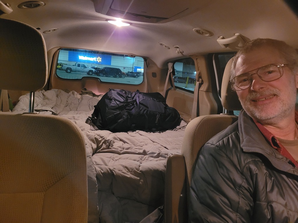
 - We drove to Mount Pleasant, Iowa Friday night and slept in the van at Walmart. We have the van set up with a pretty nice bed arrangement, which is convenient and cheap for road trips and car-camping.
|
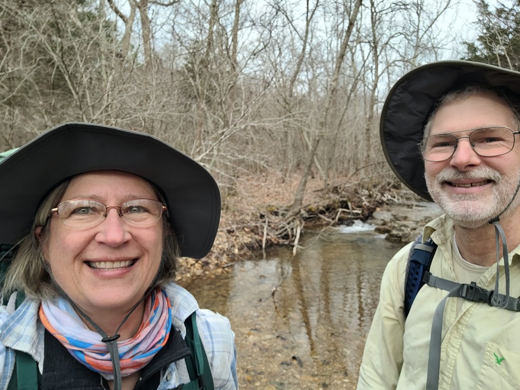
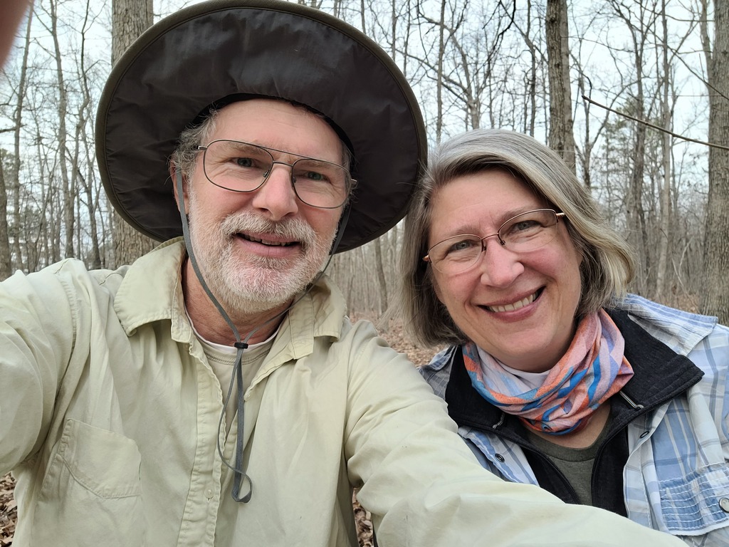
 - We started here on Sunday morning at Barton Fen trailhead on the Middle Fork section. Big Thank You to Tim from the Fort Davidson Hotel for shuttling us!
|
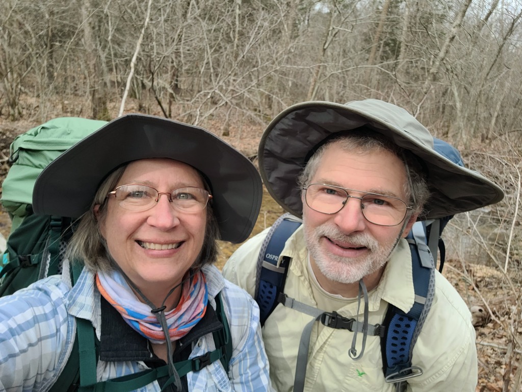
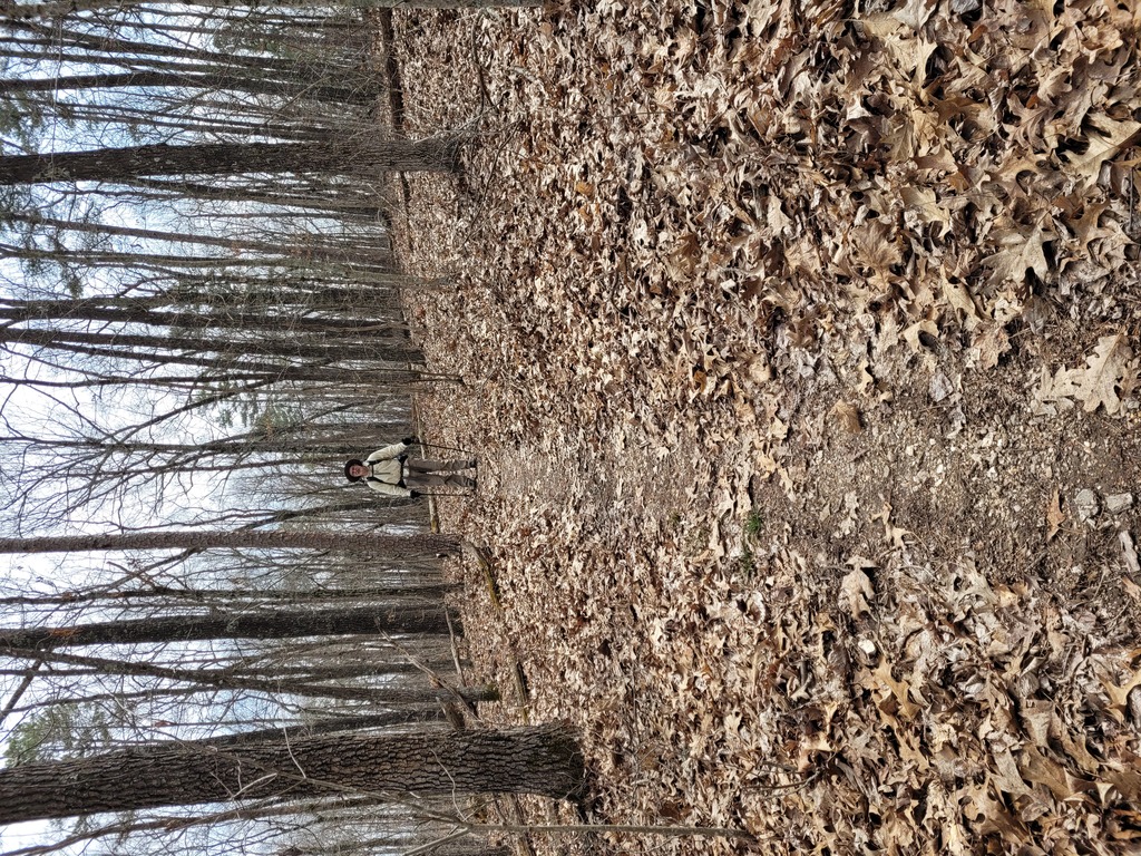
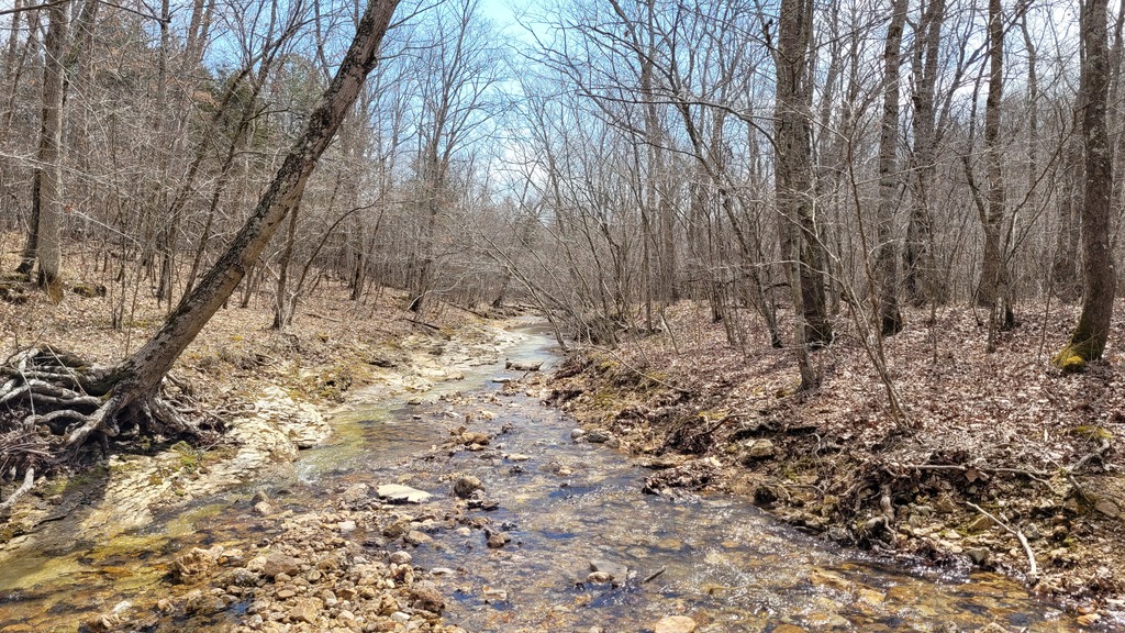
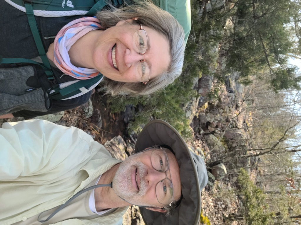
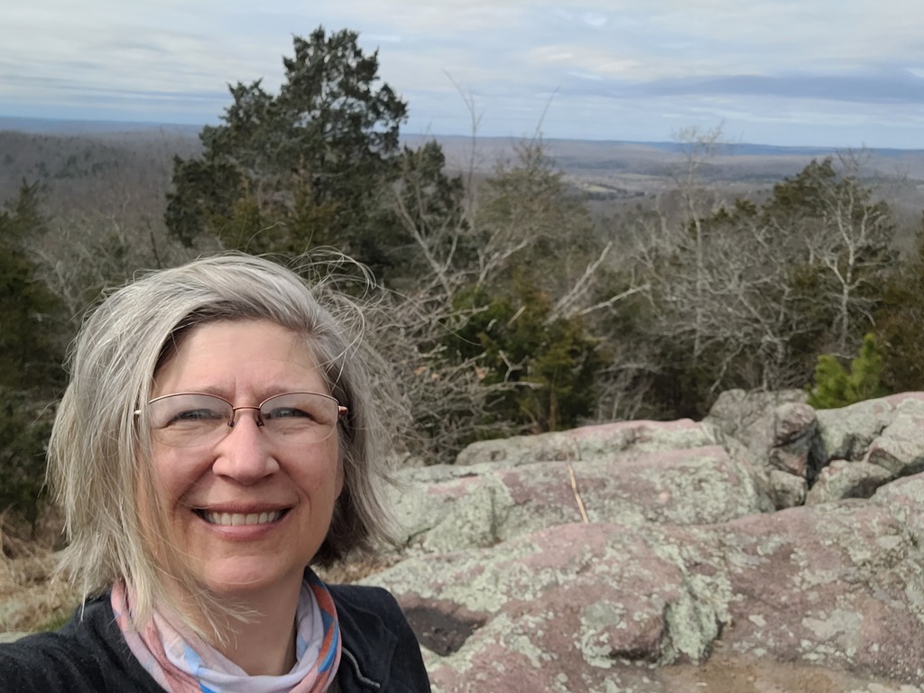
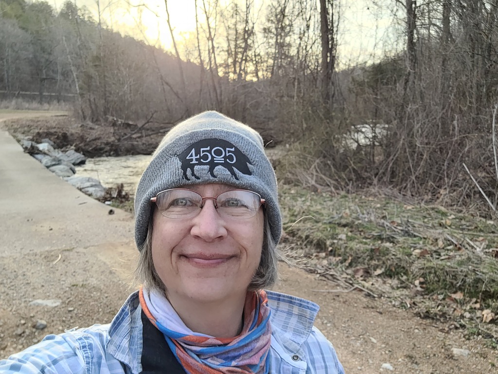 - Kristin looking good! Looking from the trailhead back to the Neals Creek.
|
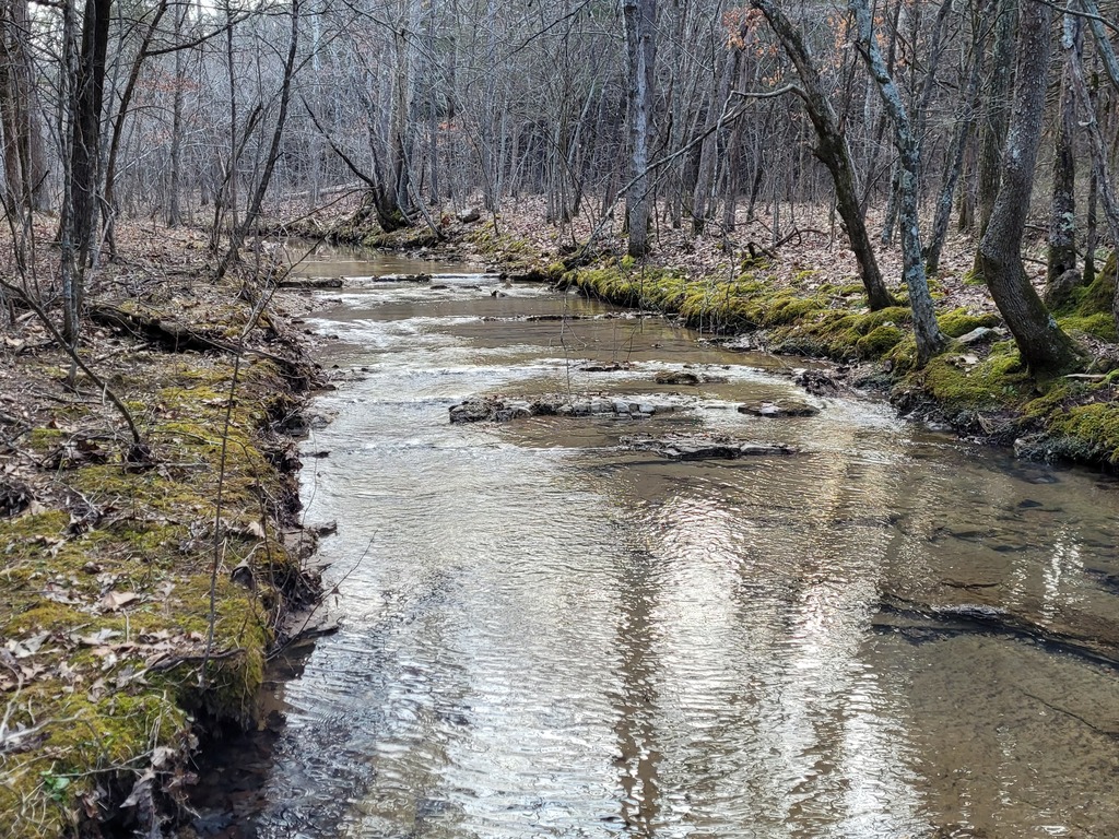
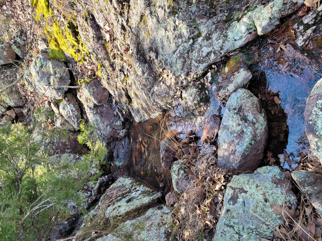
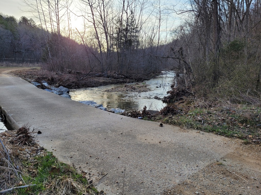 - Neals Creek.
|
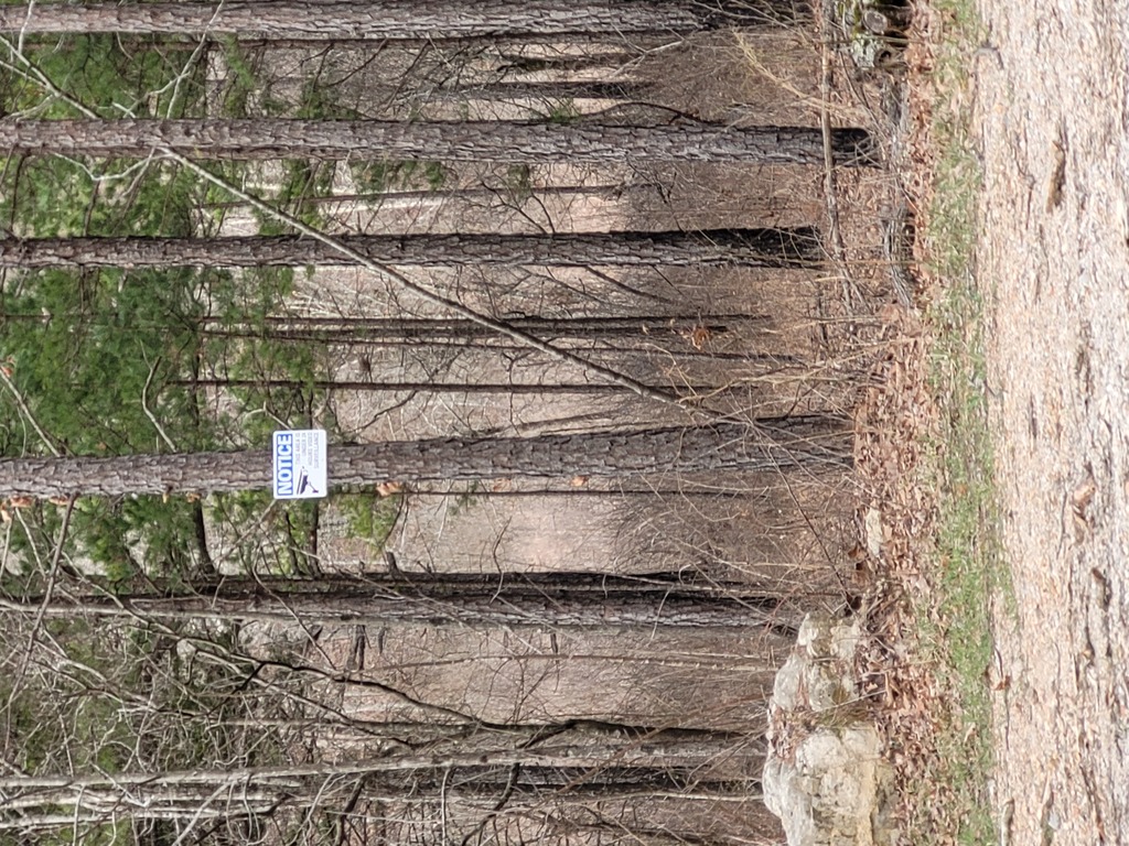 - In the middle of nowhere, we find this sign. It says the premises are monitored by camera! We're sure it's a joke. (Or is it??)
|
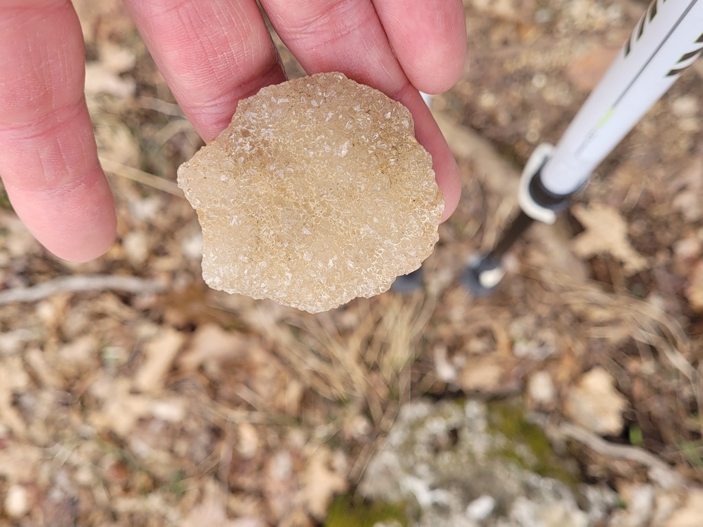 - There are lots of crystal rocks like this all over the place. Very pretty.
|
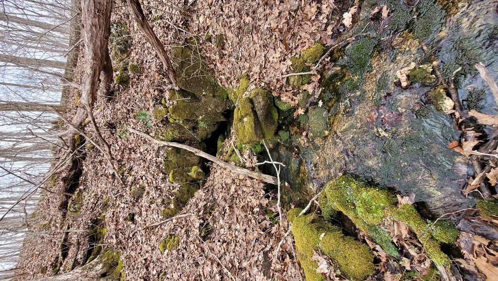 - Water is coming out of the hillside. This is only one of numerous examples we encountered.
|
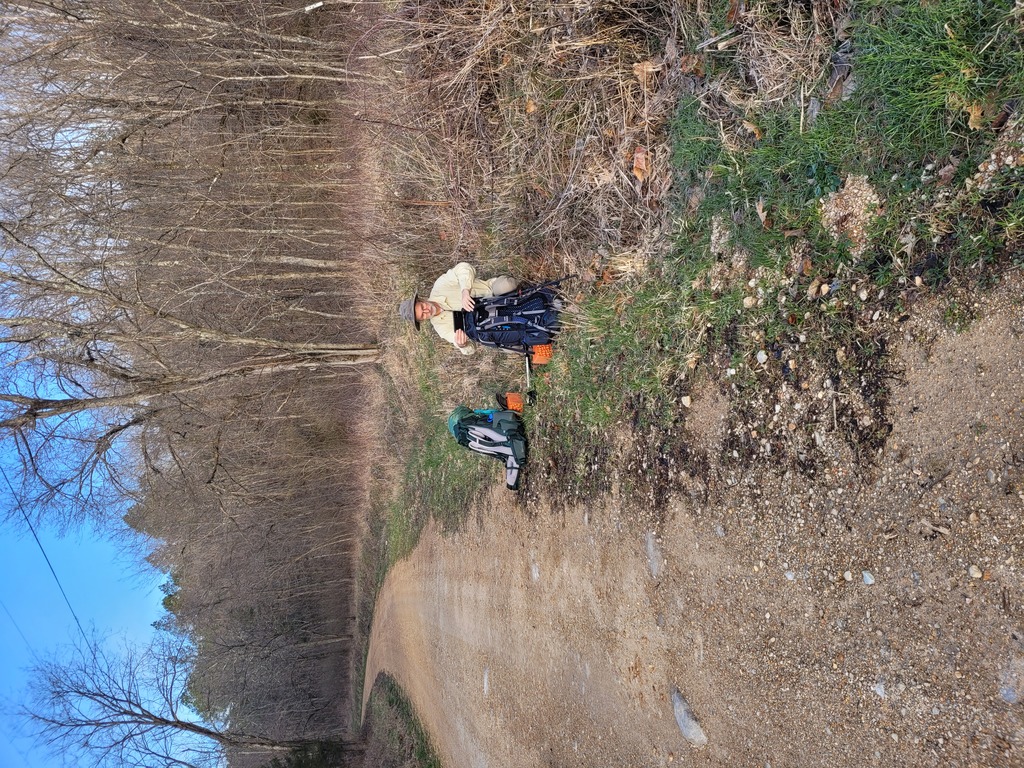
 - We're about an hour in.
|
 - One of many little water crossings.
|
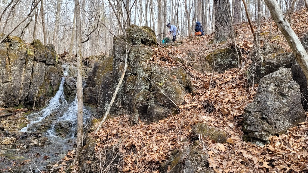 - Wolf Pen Hollow Waterfall. We took a little break here.
|
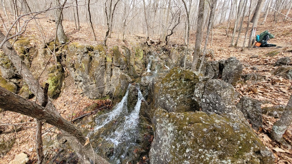 - Another view of Wolf Pen Hollow Waterfall.
|
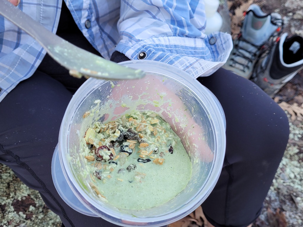
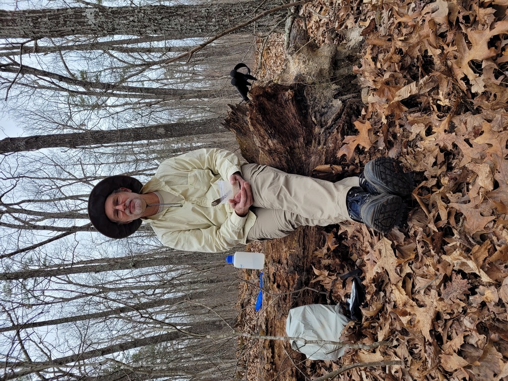 - Lunchtime! We went no-cook on this trip; I'm eating muesli with powdered goat milk and matcha powder for some caffeine.
|
 - Looks like I need to get my butt in gear!
|
 - As fresh as when we started!
|
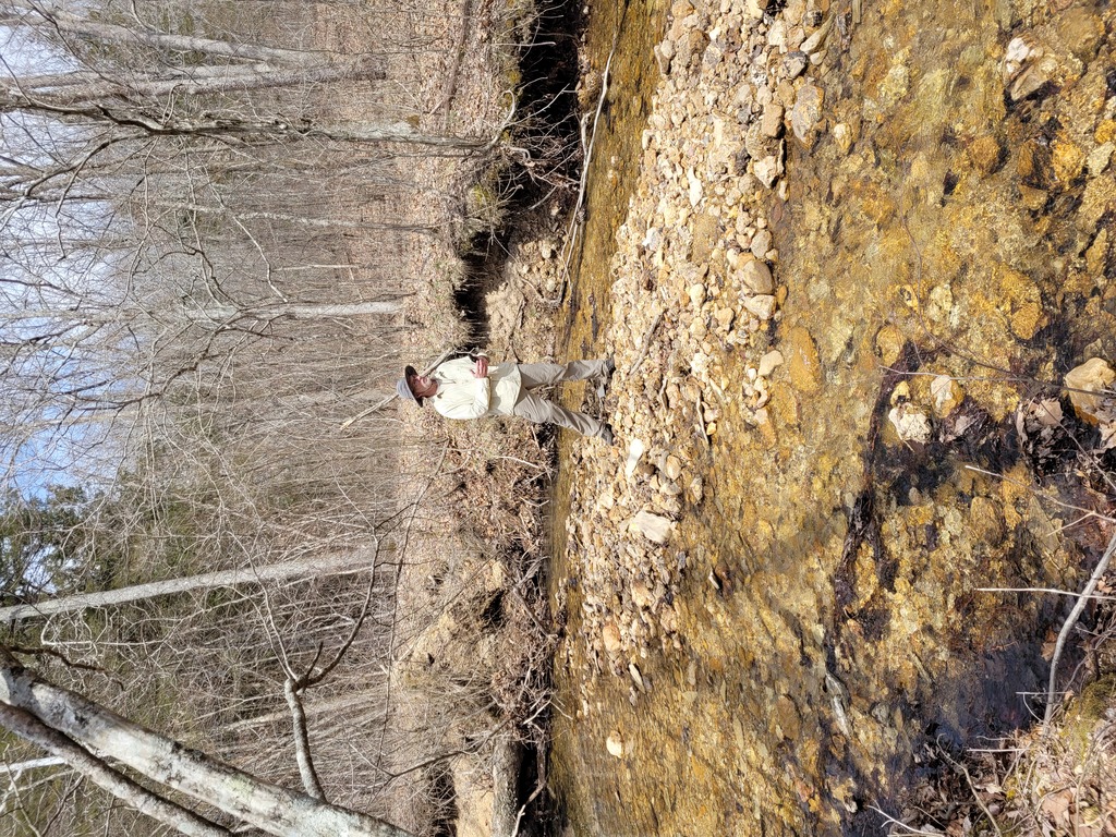
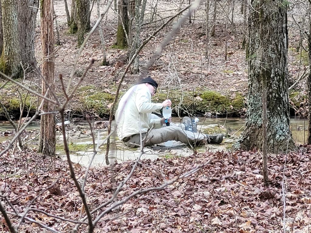
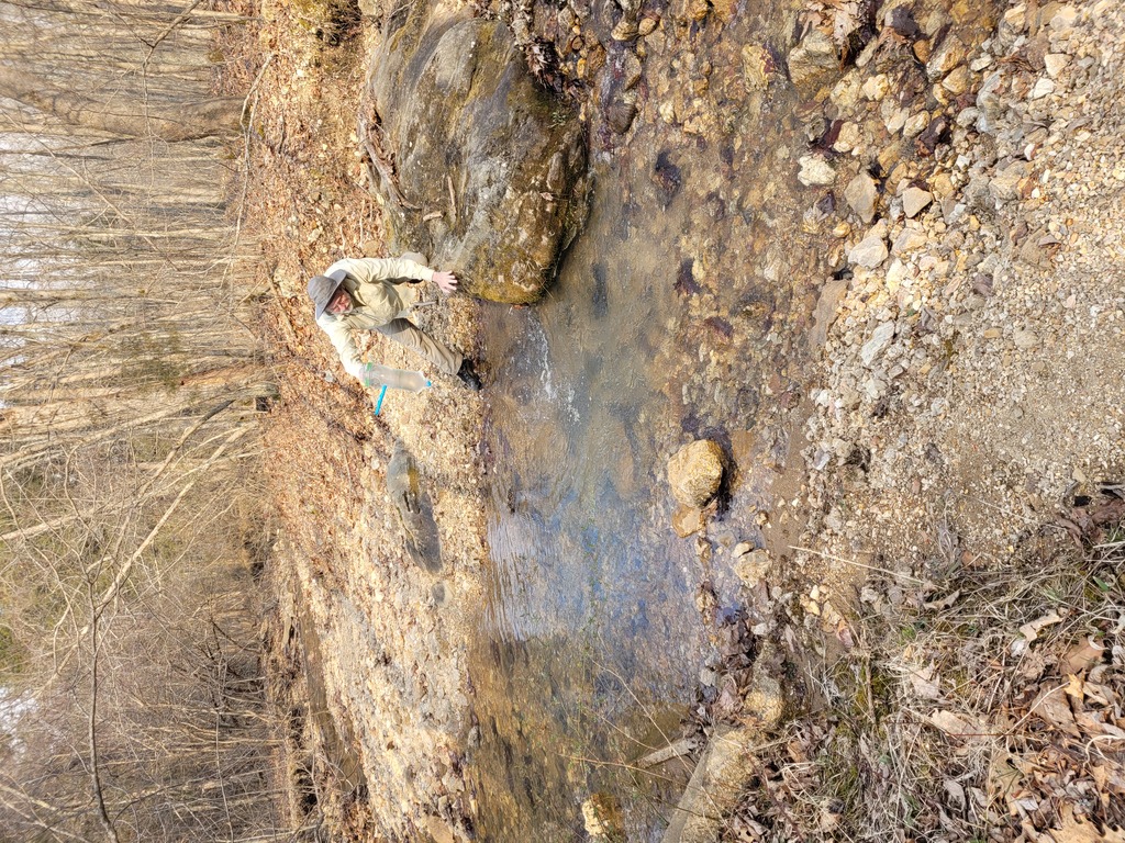 - Taking a water filter break here. I'm filling our CNOC 2L water bag, which we then connect to our Sawyer Squeeze water filter. This system works very well for us!
|
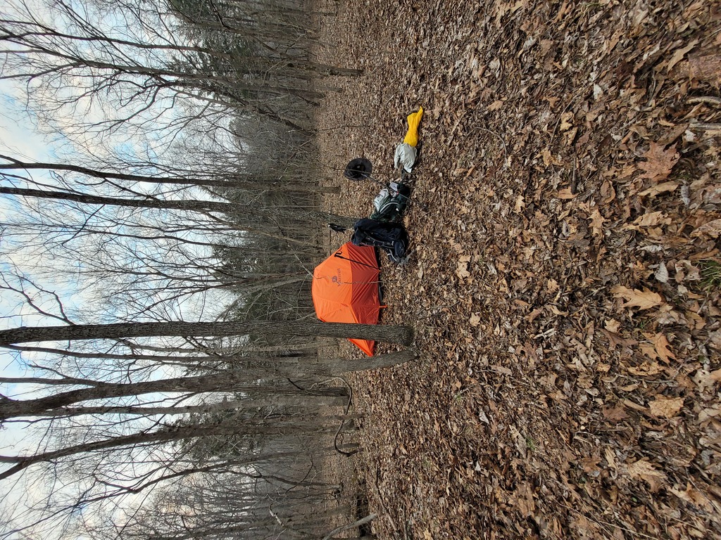
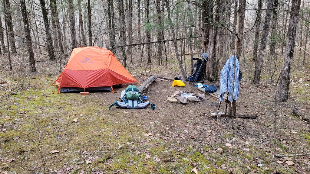
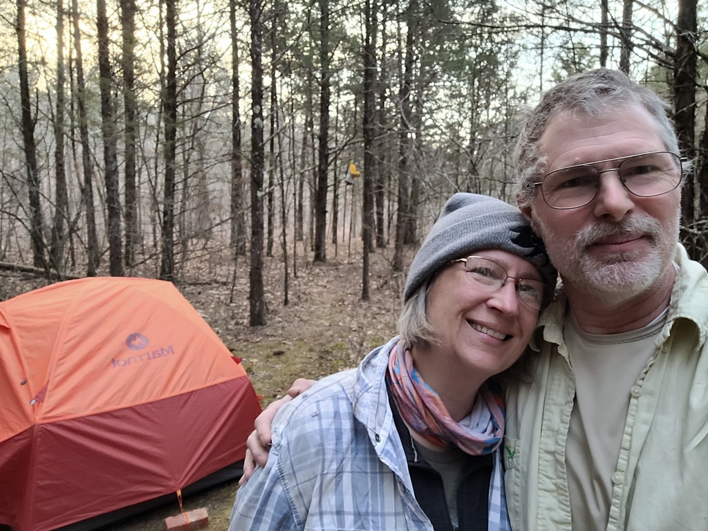
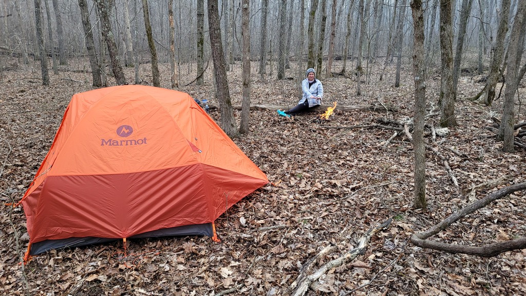 - First camp of the trip. It was a pretty cool day, not much above 50 degrees, so the fire was very nice to have. We made it about 14 miles, just a bit onto the Trace Creek section heading south. We had initially planned to do about 12 miles, but decided to push for extra miles due to anticipated rain on Wednesday - we wanted to get across the Black River on Taum Sauk before rain made the river impassable.
|
 - Another view of first camp. We were in for a cold night; we each have a closed-cell matt under our air mattress and two down blankets. With merino wool sleep clothes, socks and hats, and our down blankets, we were marginally comfortable overnight, as the temperature dipped down to about 25 degrees. In the morning, we found the rainfly well frosted with the moisture of our breath, and it shook off like snow!
|
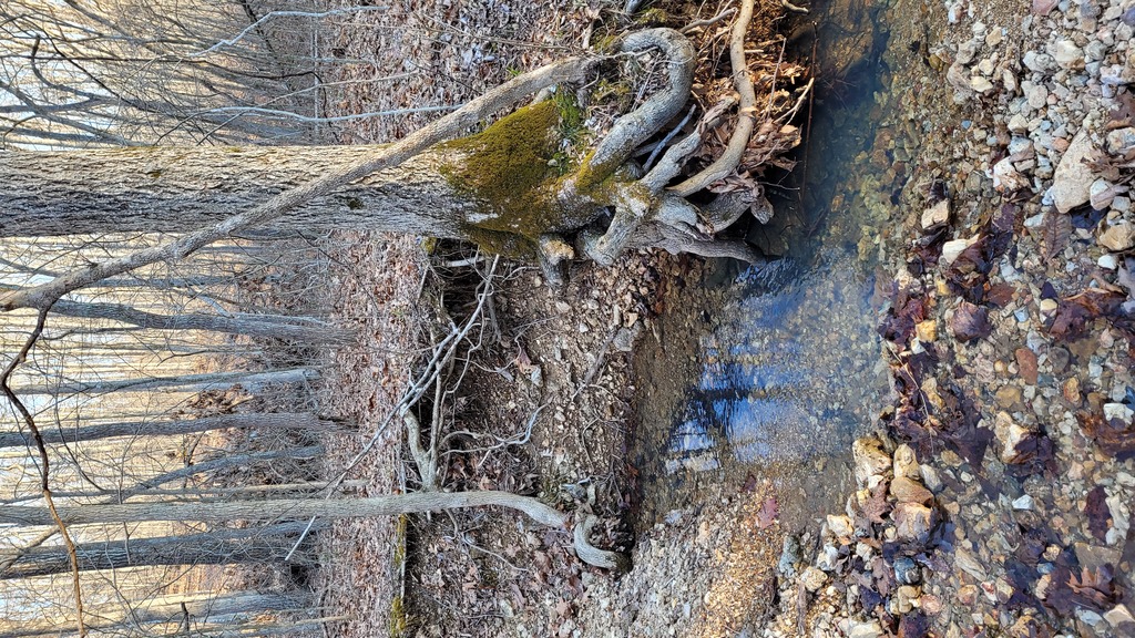 - A small spring right next to first camp. This picture shows the exceptional clarity of the water - this was universally true throughout. The water is super clean, and super yummy!
|
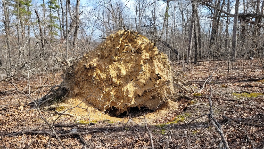 - This is the root ball of a downed tree. We saw a great many of these all over. We found the soil color to be interesting, very yellow, which was different from the more grayish surface soil. The root-ball soil is sandy and grainy with mostly small yellow gravel-sized rocks. Where there were fallen trees that had been mostly decayed, there would just be a mound of this yellowish gravelly soil. Kristin started referring to the piles as "corn", as they looked a lot like piles of yellow corn. We wondered why the forest critters didn't eat it!
|
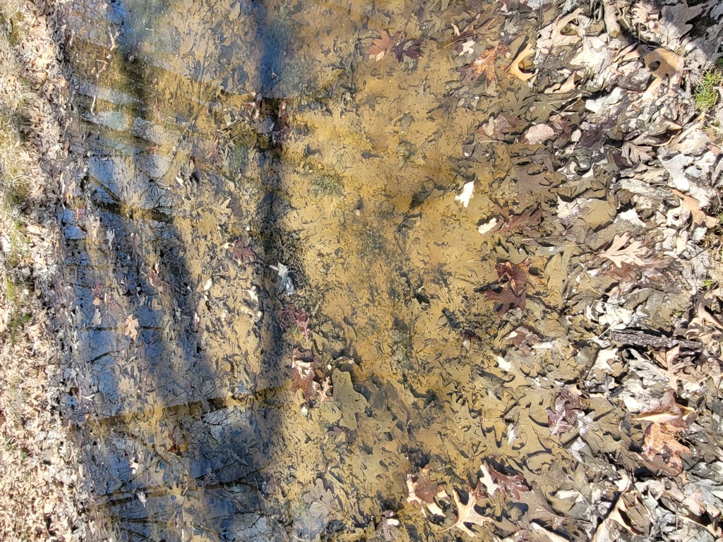 - At the top of a ridge we found a small pool of water, about 10 ft in diameter, teeming with tadpoles!
|
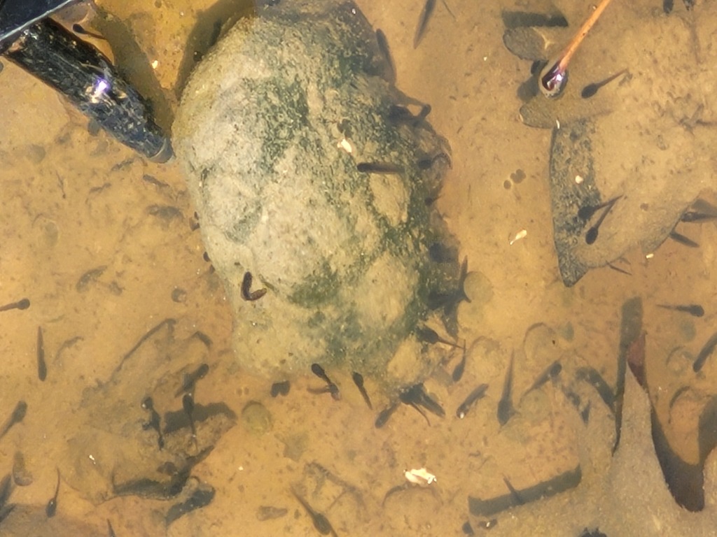 - Also in the pool with the tadpoles were these greenish blobs. We first mistook them for rocks, as there was some resemblance to many of the rocks we saw. Something was odd though. I poked one with my hiking pole and was surpised to find the blob being very jellylike and firm! Clearly this was something living, but neither Kristin nor I had ever seen this weird thing! Later on we Googled it, and decided it must be Ophrydium versatile.
|
 - Yet another lovely little creek.
|
 - I had to get a picture of the creek from the middle of it!
|
 - We are beginning our descent to Ottery Creek.
|
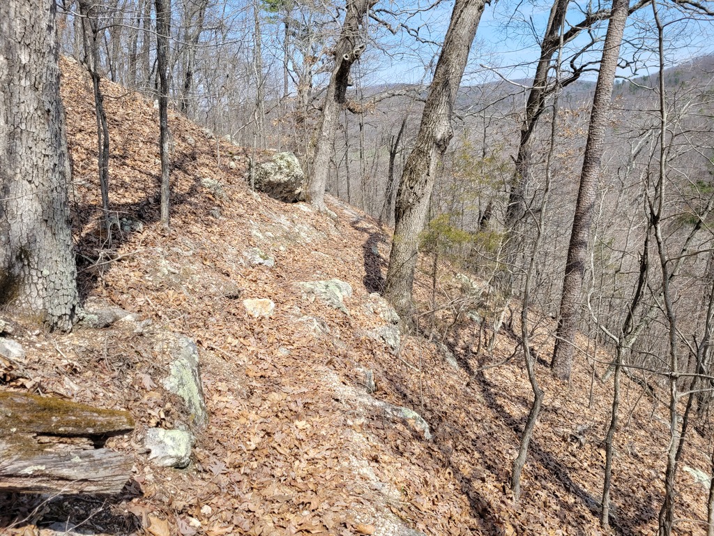 - Pretty steep here.
|
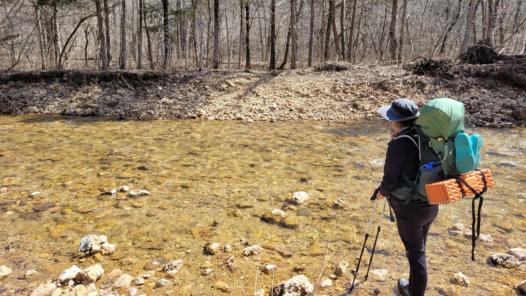 - Here we are at Ottery Creek, about 1:30pm on Monday, to begin the Taum Sauk section. The water was less than 6 inches deep. Kristin decided to cross in her new boots to see how well they would keep her feet dry. I opted to cross in my crocs. We took a break on the other side where Kristin changed out socks and inspected an increasingly sore heel, finding a growing blister. After resting and drying out, I taped up her heel and we continued.
|
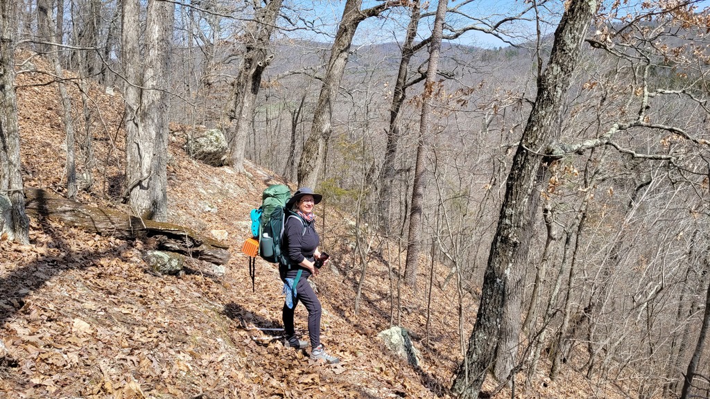
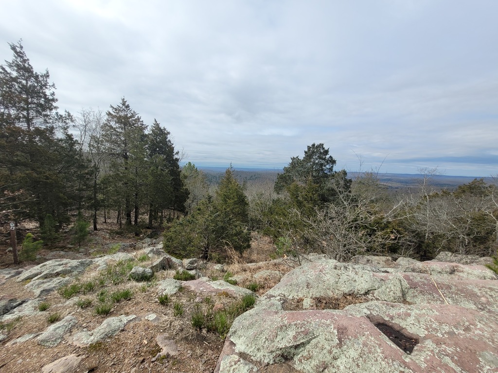
 - After Ottery Creek, Taum Sauk makes a fairly steep ascent of about 300 feet, then meanders more or less along a ridge for several miles, up and down a couple hundred feet along the way. We encountered several open areas like this along the way.
|
 - Another open area - a glade? The ups and downs were not treating Kristin's feet well, and she'd developed blisters on both heels. We had to stop a couple times to retape her feet so she could keep moving.
|
 - We made it to Padfield Branch where we found this very nice campsite right along the creek. We were tired, having covered another 14 miles, and quickly set up camp.
|
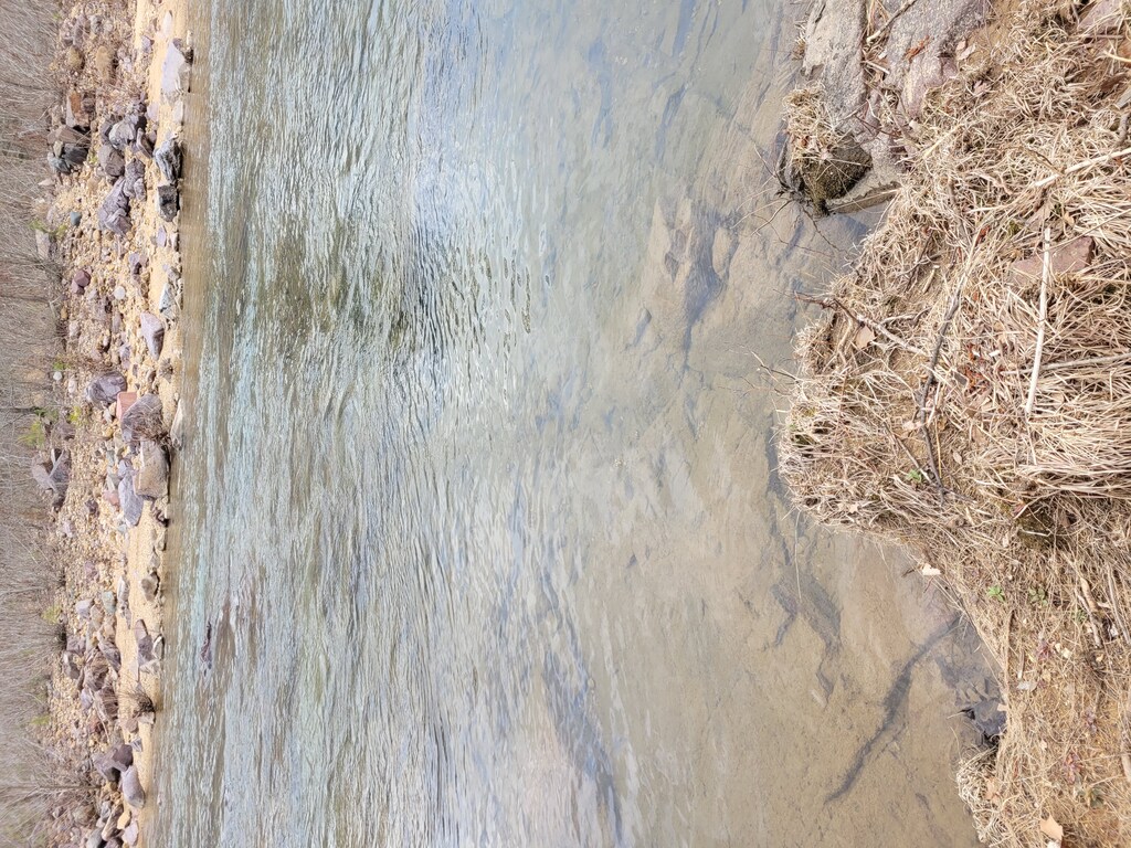
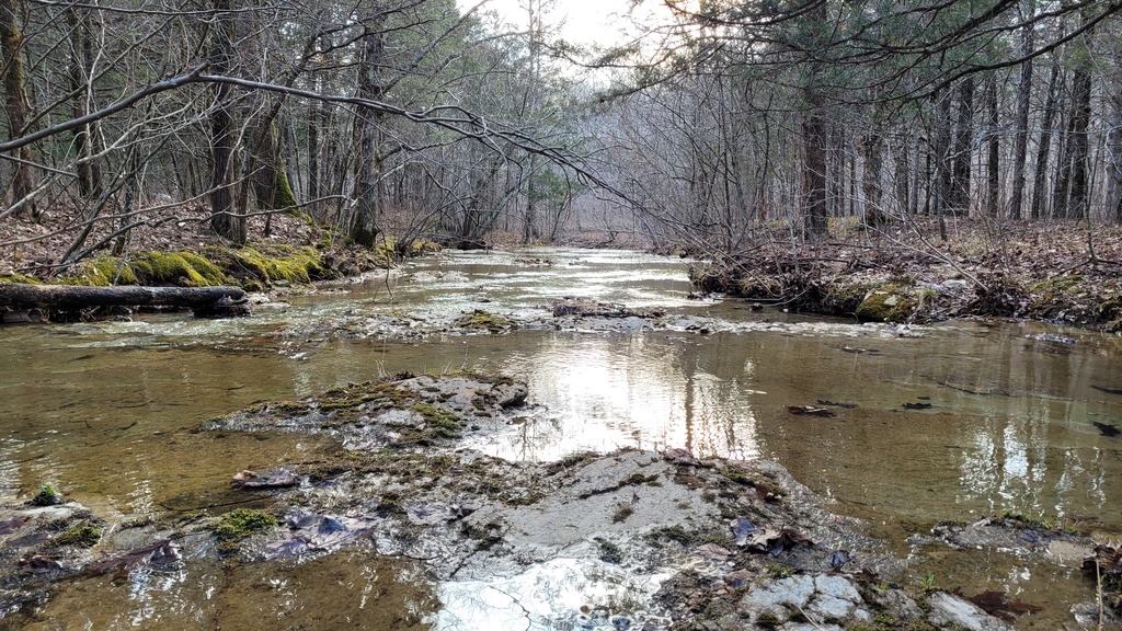 - Padfield Branch, looking downstream. This is a wide and shallow creek, easy to cross.
|
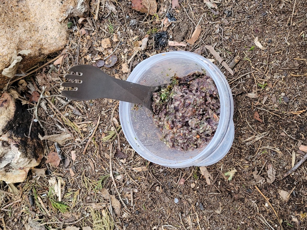 - This is what our suppers looked like. For this trip, Kristin made up a mixture of dried bean flakes, dried vegetables, herbs and spices. Mixing about half a cup of this with water and letting it soak for 10 minutes results in an extremely tasty and satisfying meal.
|
 - Last picture of the day, just before bedtime. The temperature had warmed throughout the day, and the nightime low was in the low 40's, so we had a very comfortable night of sleep!
|
 - Tuesday morning, filling water bottles at Padfield Branch before setting off for the day.
|
 - An upstream view of Padfield Branch. From here we followed along the creek for half a mile before another steep ascent of about 400 feet. Kristin's feet were getting worse, and we were at a pretty slow pace. Wednesday's weather forecast called for thunderstorms, heavy rain in the morning, and rain continuing throughout the day, so we really needed to get across the Black River before the end of the day. With Kristin's blisters, we began to be concerned about how much further we would be able to go.
|
 - Only an hour in and we needed to stop to retape Kristin's feet again. We decided to have breakfast as well. This is what we were eating for both breakfast and lunch. We also had dried figs, meat sticks, trail mix, cookies and jelly beans, which we snacked on as desired. Fun fact: The Justin's coconut almond butter is very firm when cold, and is almost like eating a soft candy - tasty and satisfying!
|
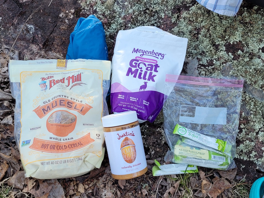
 - A close-up view of our breakfast/lunch mix. The muesli has been augmented with dried blueberries, craisins, pumpkin seeds and coconut. It looks a little weird with the green matcha mixed in, but it's yummy and is a great stick-to-your-ribs meal. And no cooking required!
|
 - This is the "Small Pool" as described on the map. This is a beautiful little mountaintop stream!
|
 - Small Pool in the background.
|
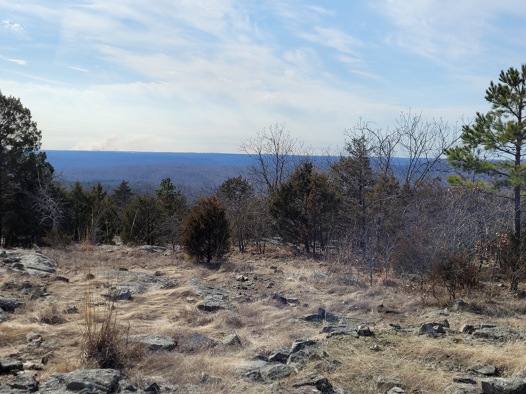
 - This is the view to the northwest from the glade at the Goggins loop connector. We stopped here again to rest, and to tape Kristin's feet once again. They weren't getting better!
|
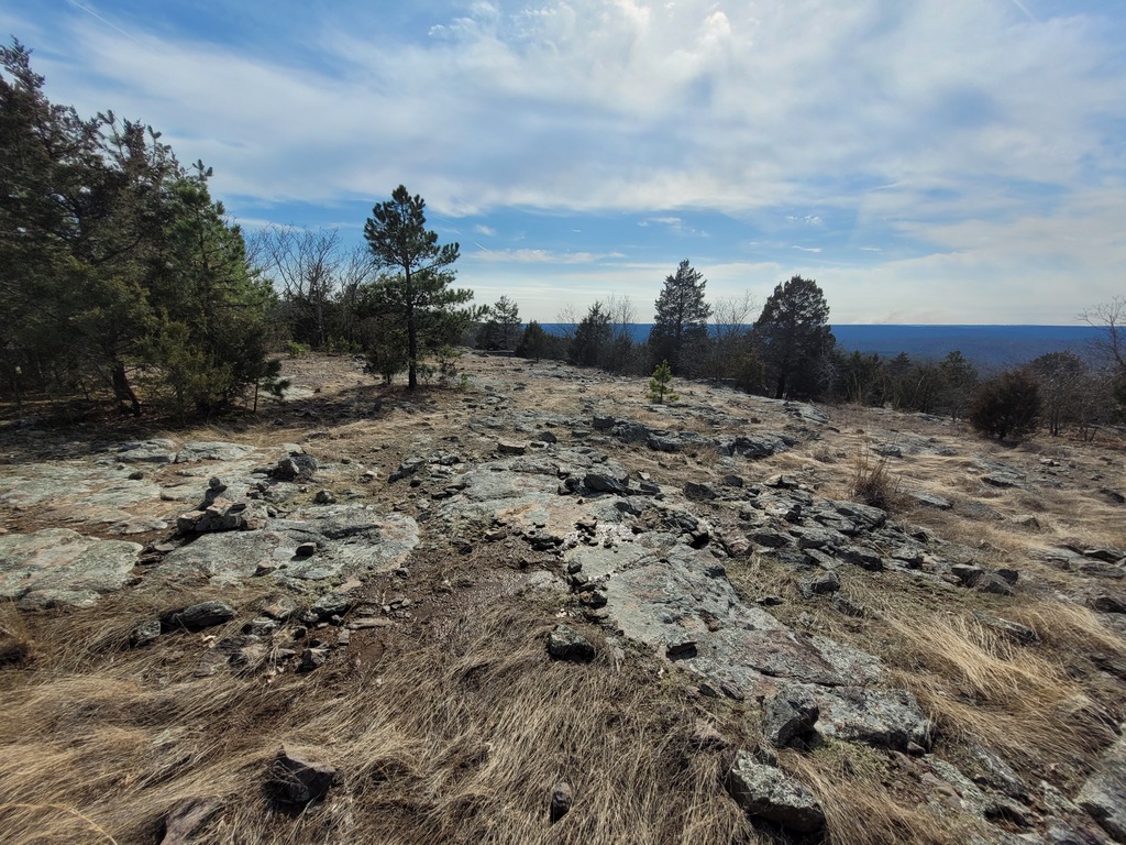
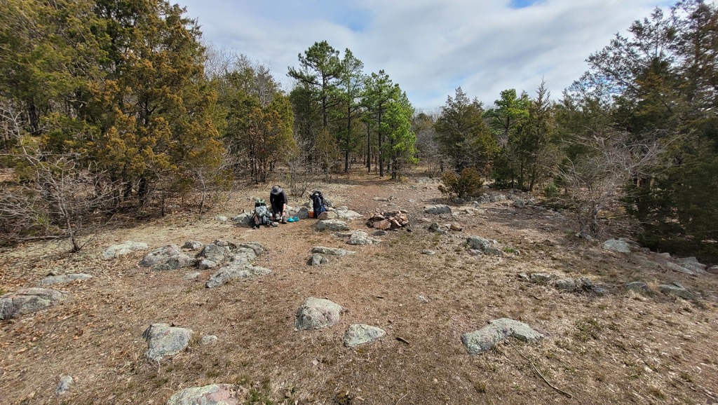 - Here's the view from the same spot as the previous picture, facing toward the Goggins trail connector. There are numerous campsites located here, and we considered staying the night, but with the prospect of thunderstorms, and the likelihood that Kristin's feet would not significantly improve, we decided to keep moving.
|
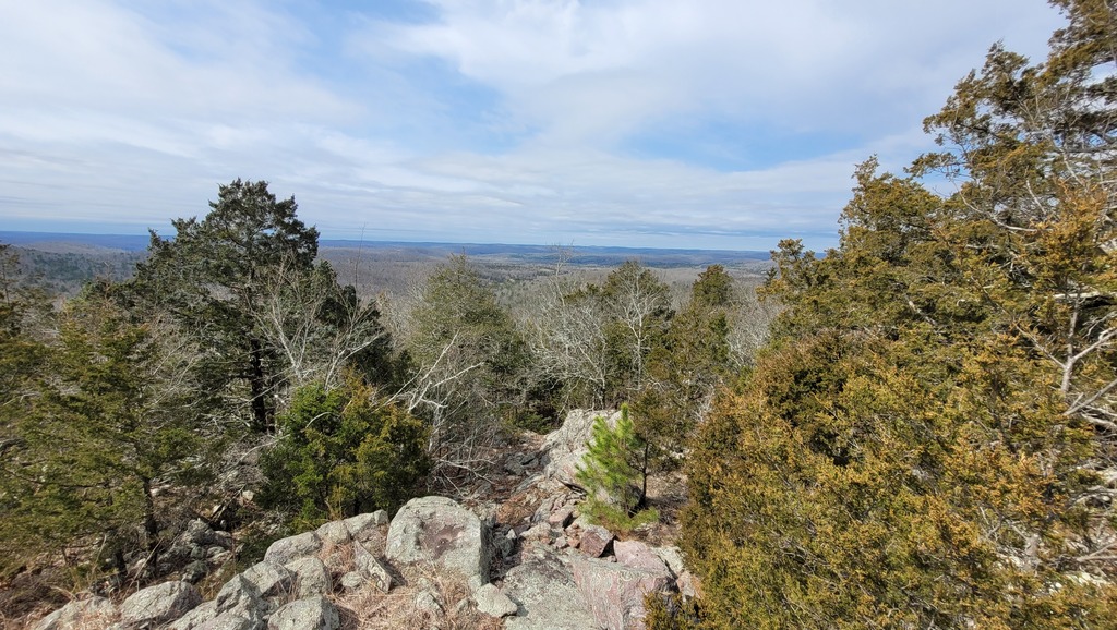
 - The view to the southwest from the Goggins trail connector.
|
 - I had Kristin lay face down over a large rounded rock so I could more easily tape her feet. She was pleased!
|
 - Black River, we made it! Unfortunately, the water was faster and deeper than we were comfortable with. That combined with Kristin's continually worsening feet, and the weather forecast for the next day not improving (thunderstorms, heavy rain and cooler temps), made us decide to call our hike done. We hiked out through the Johnson Shut-Ins park, and were very lucky to meet a couple young guys who had been hiking and exploring and were willing to give us a ride back to the Fort Davidson Hotel, where we enjoyed long hot showers and a relaxed evening. As it turned out, the decision to stop was a good one just on the basis of the weather; Wendesday brought rain so heavy that it significantly slowed traffic on the interstate!
|
|
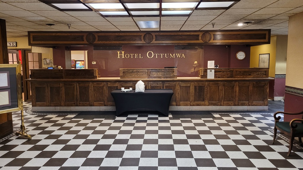 - Wednesday we decided to start meandering generally homeward and find something interesting to do for another night. We ended up in downtown Ottumwa, staying at the Hotel Ottumwa. This is a really cool old hotel with a fun retro vibe. The hotel lounge, the Tom-Tom Tap, is a fun little spot too, and we settled in, had dinner and drinks, and played Sixty Six.
|
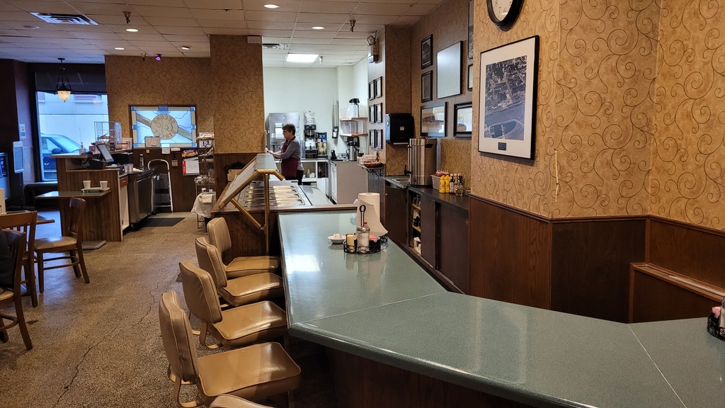 - The is the Hotel Ottumwa dining room. Here you can see the lunch counter and salad bar, to the left is the main dining area.
|
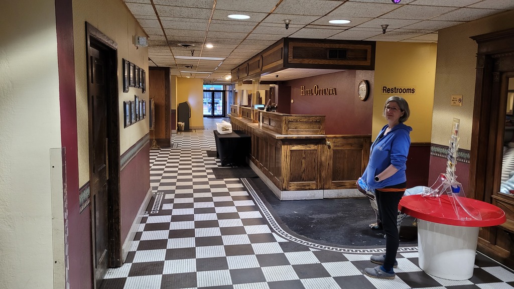 - Another view of the front desk, with Kristin. The dining room is to the left of this picture.
|
|