Superior Hiking Trail - August/September 2023
Last week we headed up to Minnesota's North Shore for a backpacking trip on the Superior Hiking Trail with Audrey and Paul. We hiked the Two Harbors to Silver Bay section, starting at the Castle Danger trailhead and hiking north to the Beaver Bay trailhead for a total of about 30 miles over 3 nights. The terrain was rugged and beautiful, with steep rocky climbs and descents, and amazing views of Lake Superior.
With my ankle issues, and Kristin's Achilles tendon issues, and with some significant physical therapy behind us to shore up our abilities (no pun intended!), we decided that this hike would be our final readiness test to determine whether we would be able to go ahead with our AT hike in the spring, or would have to change course. I am excited to be able to say that our hike went better than we expected, and with that, we have decided that we WILL be doing the AT next year! WOOHOO! 😃
With that, and without further ado, here's a rundown of our trip:
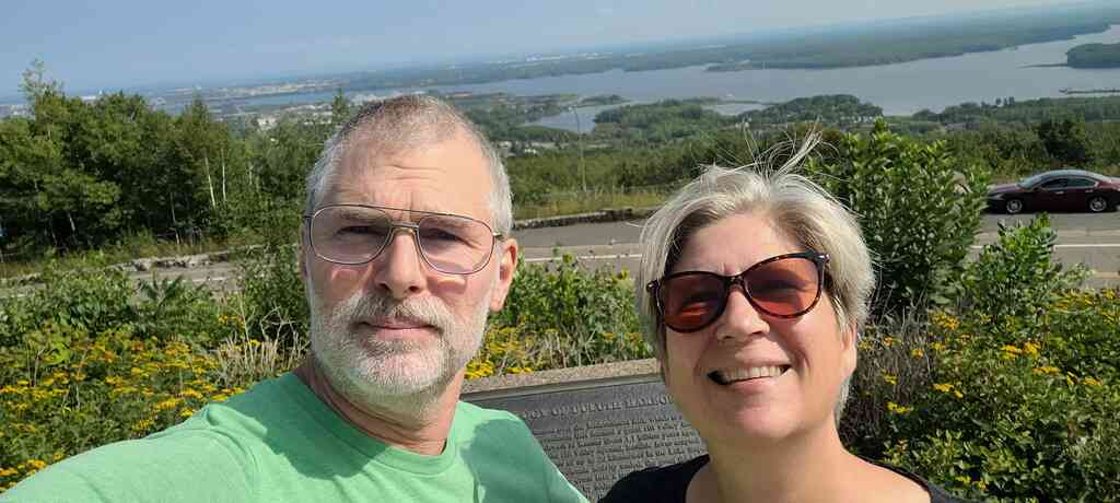
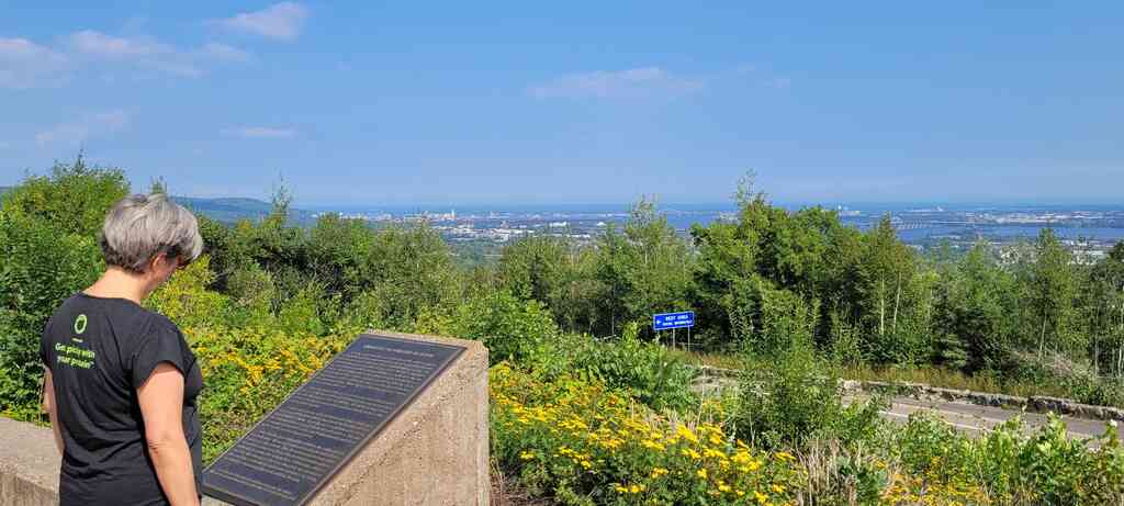
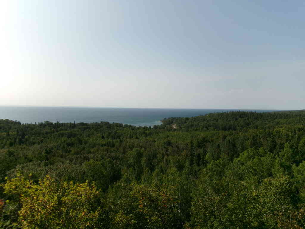
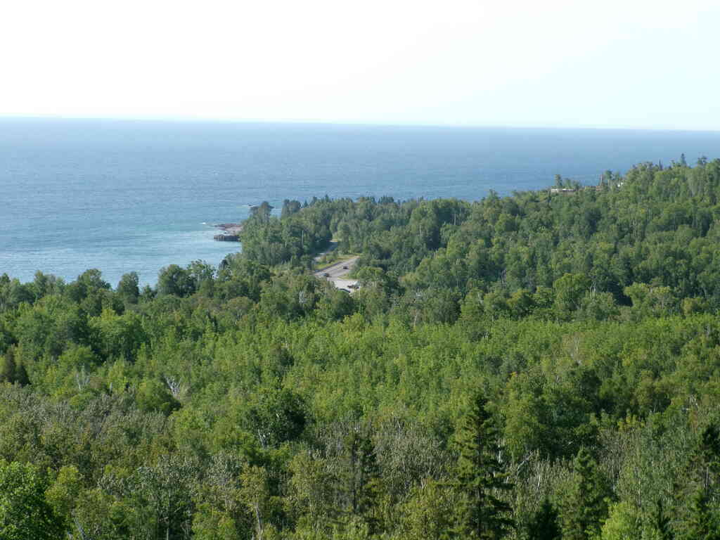
We left Tuesday morning for the long 9-hour drive to Beaver Bay. On our way into Duluth we stopped at the I-35 rest stop overlook to rest and get some great views of the lake and bay.
 |
 |
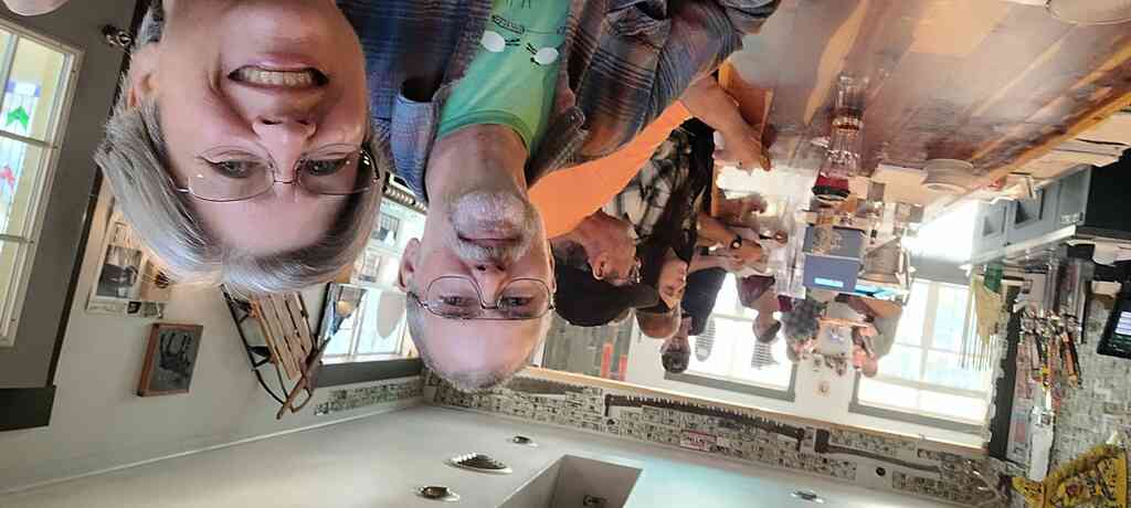
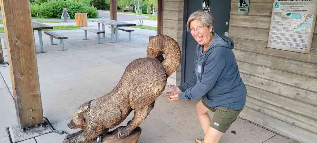
We continued on up to Beaver Bay and got settled into our hotel room, then went over to the Tracks n Racks for food and drinks. Fun place! The next morning, before Audrey and Paul got to Beaver Bay, we went to the little visitor center to have breakfast, review the maps and our hiking plan, and have a bit of fun with the sculptures.
 |
 |
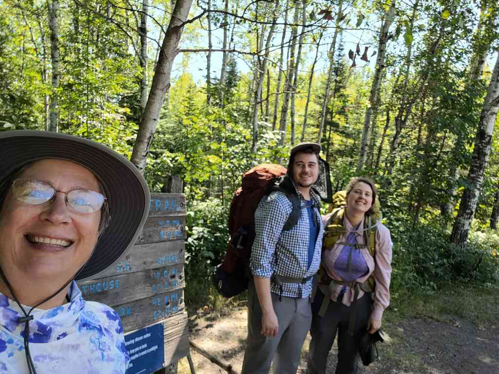
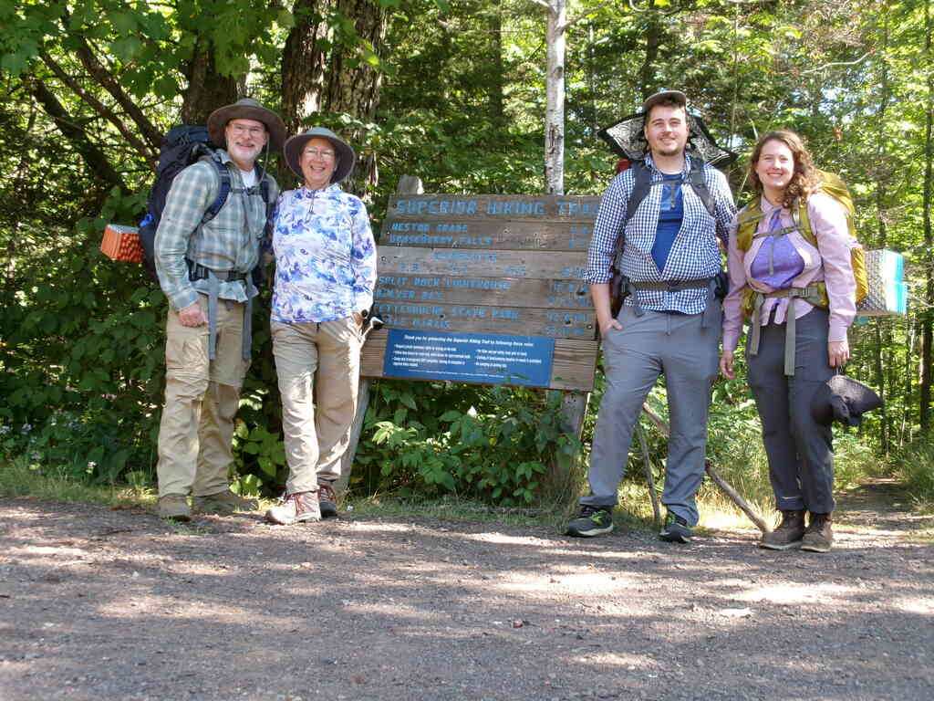
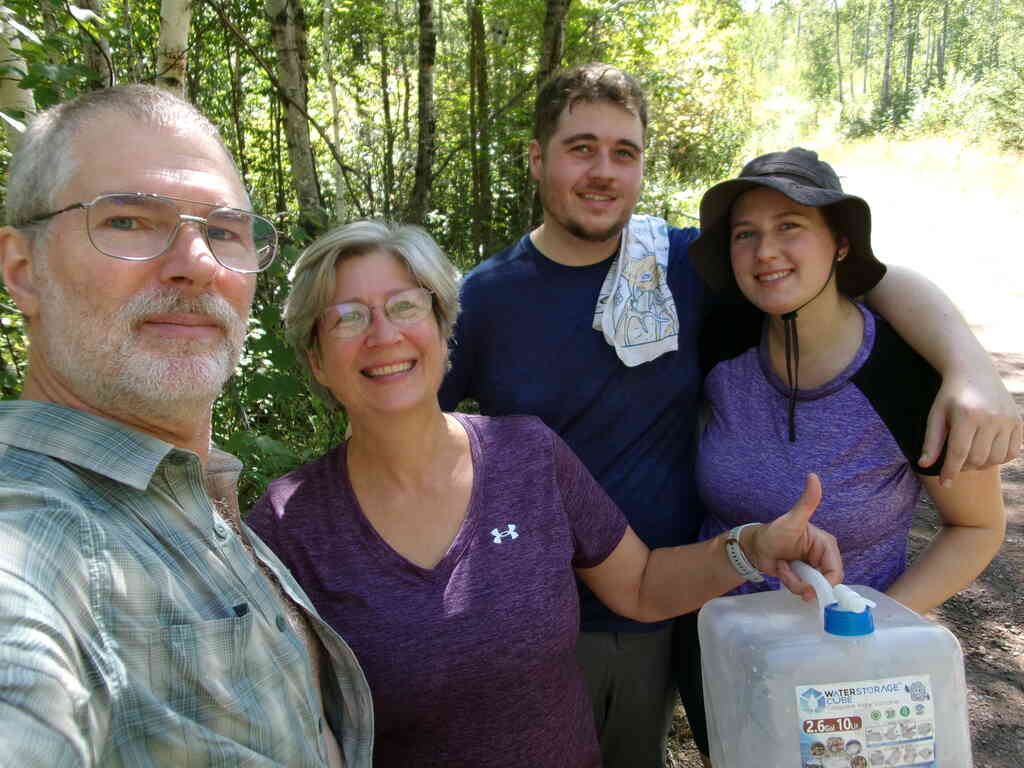
Once Audrey and Paul showed up, we drove to our planned terminal point at the Beaver Bay trailhead. We left the van there and took their car down to the Castle Danger trailhead, where we sat for a bit to have lunch before getting started on the trail.
 |
 |
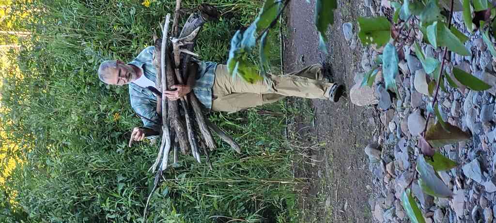
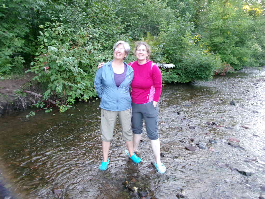
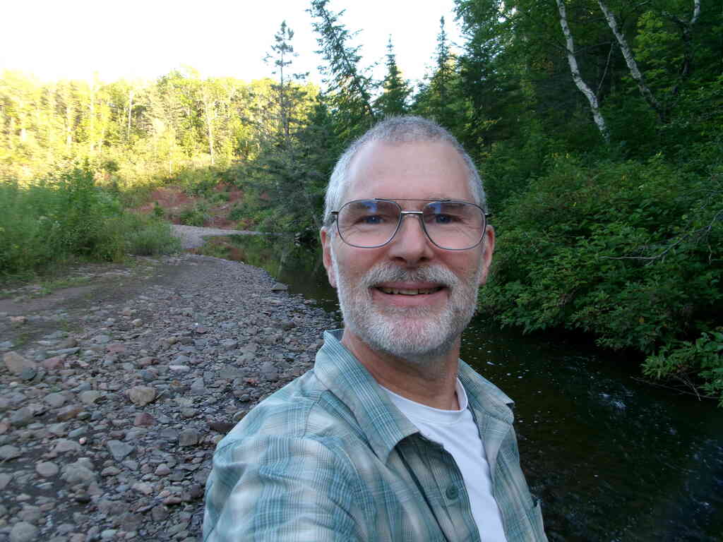
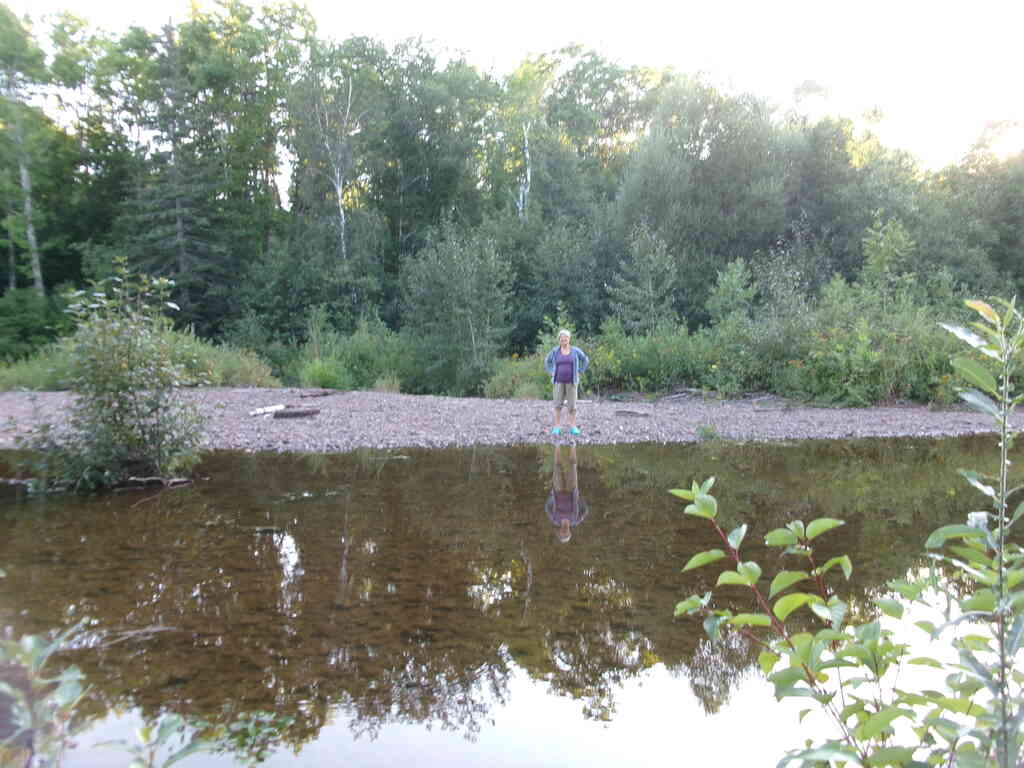
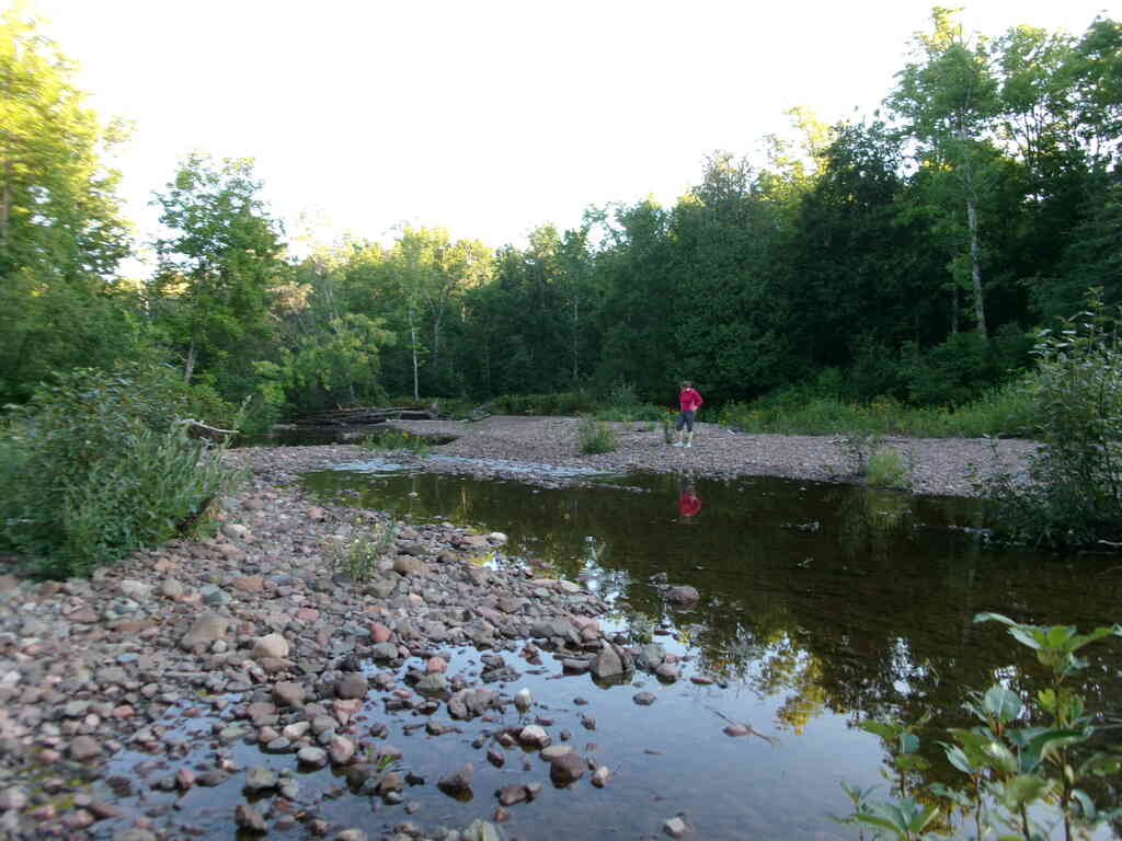
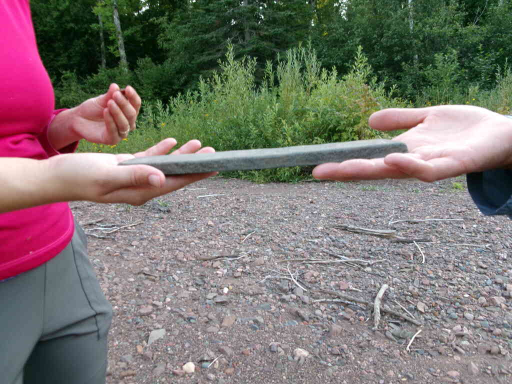
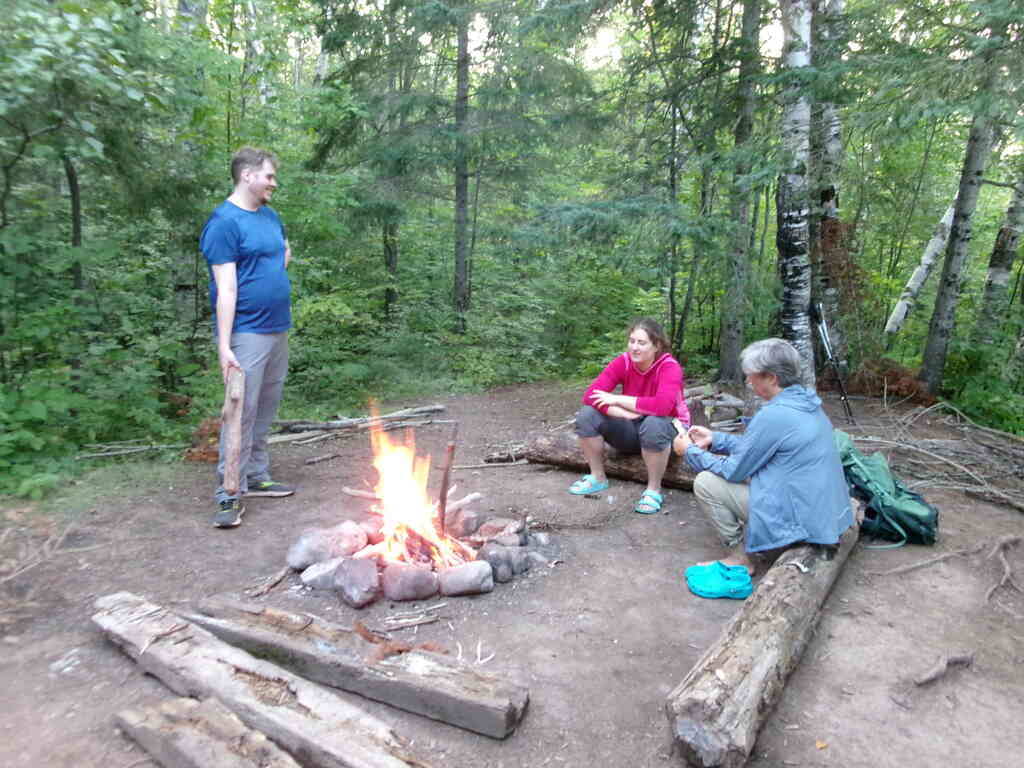
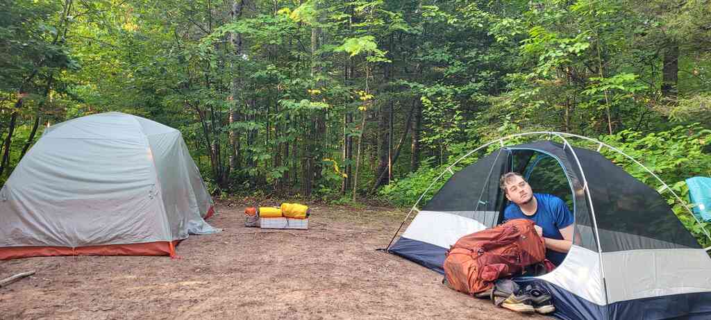
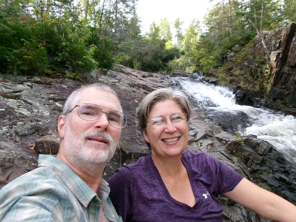
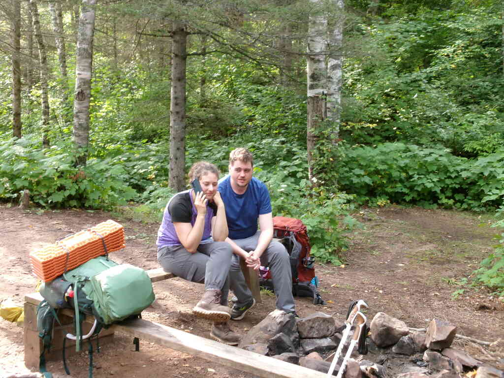
We had planned about a 4-mile hike on Wednesday, to camp at one of the Gooseberry River sites. The West Gooseberry River site looked quite nice and was close to water, so we grabbed it. After setting up the tents, filtering water, and gathering wood, Audrey, Kristin and I decided to wade up the river, which was barely ankle deep, and look for cool rocks and stuff. Paul missed out, as he hadn't brought a suitable pair of shoes, so he worked on starting a fire instead.
 |
 |
 |
 |
 |
 |
 |
 |
 |
 |
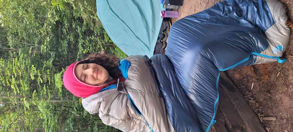
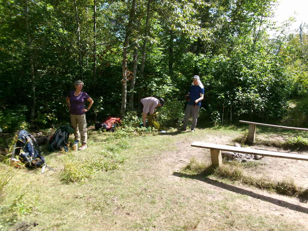
Thursday morning was lovely, with Audrey starting the day ahead of the rest of us, quiet and toasty in her sleeping bag. Eventually we all got up and quickly packed up to get moving, planning to have breakfast later in the morning.
 |
 |
 |
 |
Along the way we met a couple gals hiking south. They had stashed some water on Blueberry Hill Road that they ended up not needing, and offered it to us, advising that there would be no water for quite a few miles after that. We were happy to grab it, then proceeded to the Blueberry Hill campsite to rest and have breakfast.
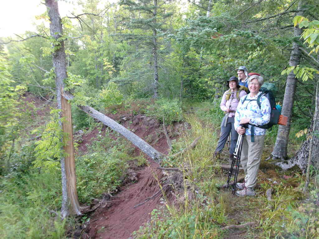
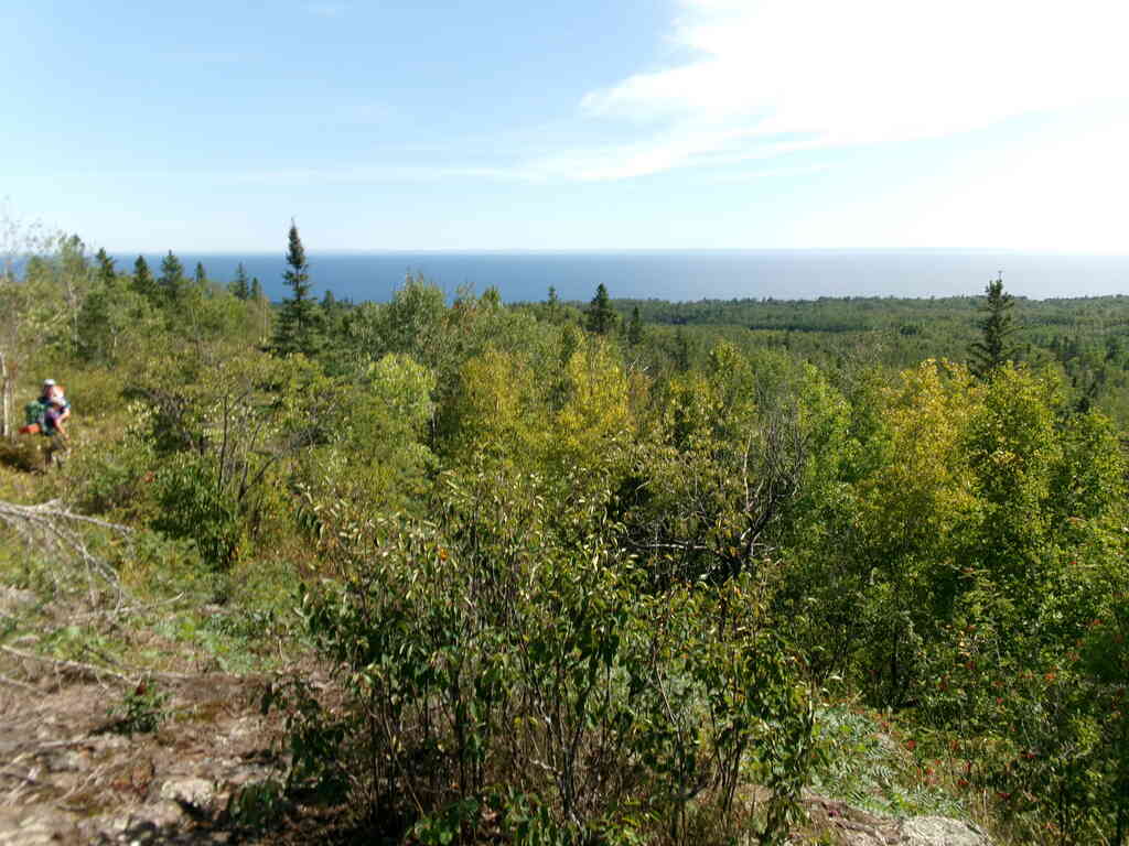
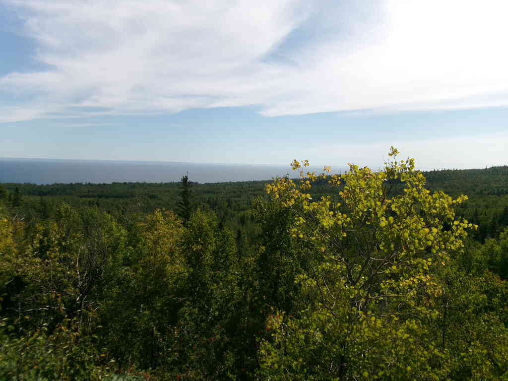
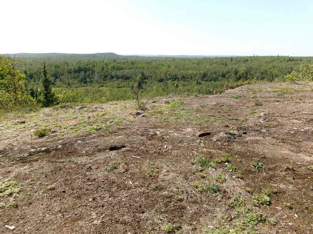
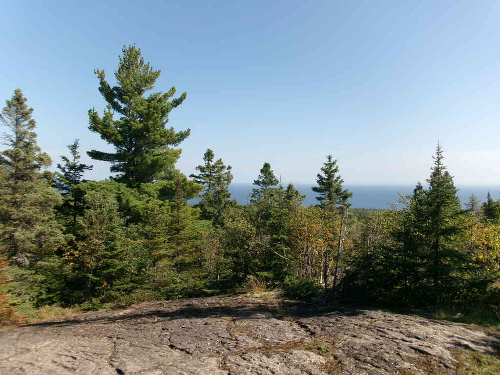
From there we followed a ridge for a couple miles and were treated to some awesome views of Lake Superior.
 |
 |
 |
 |
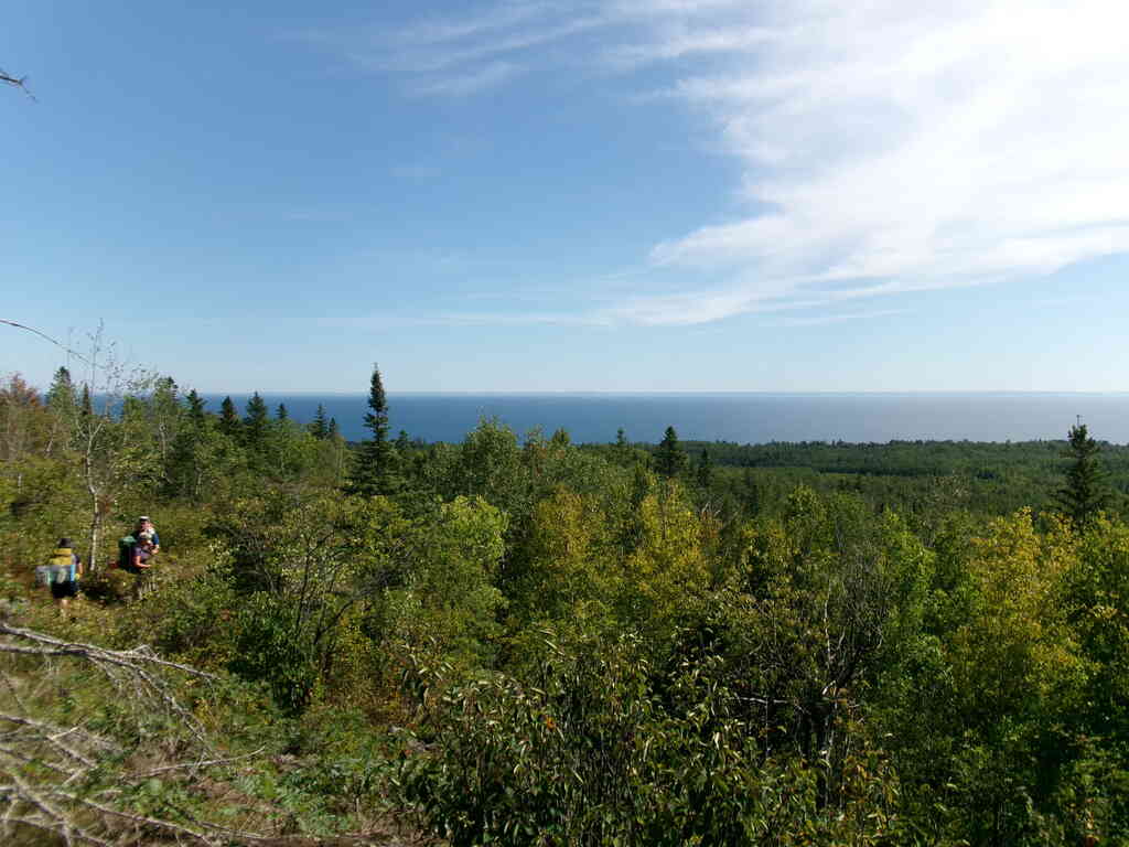
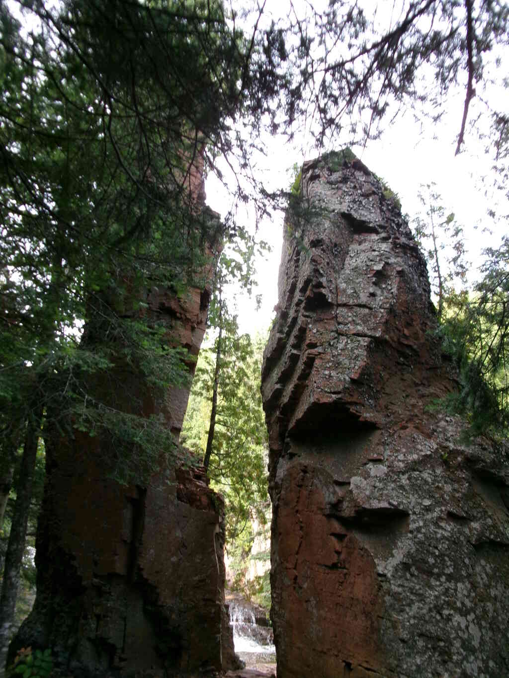
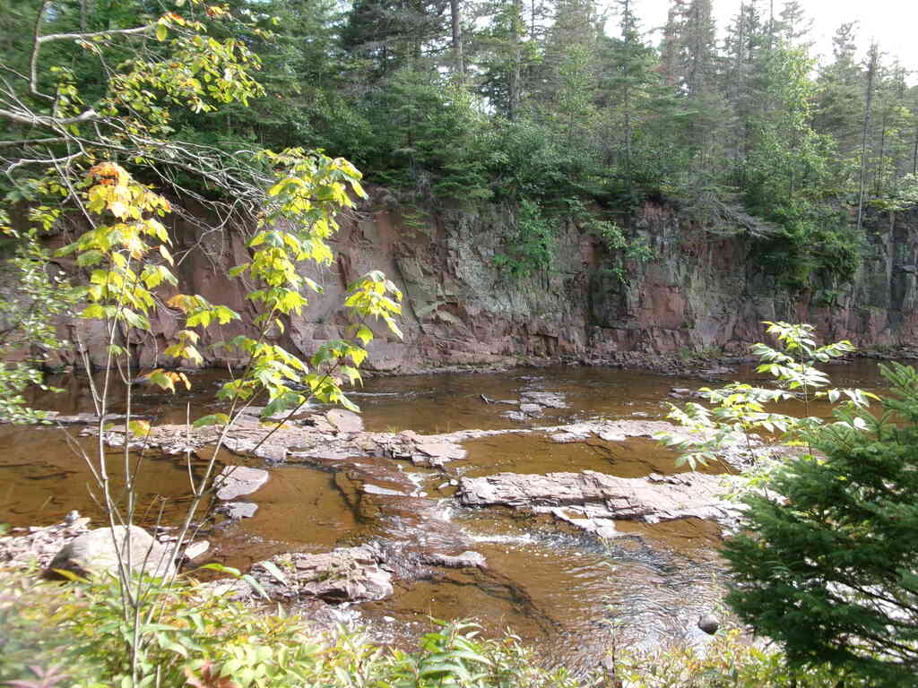
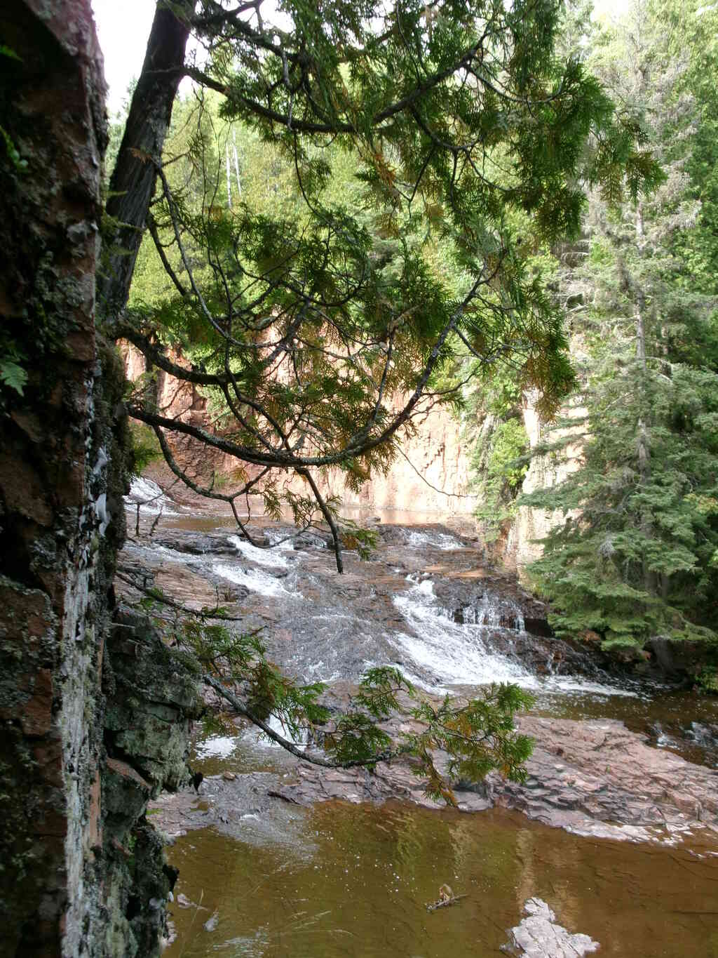
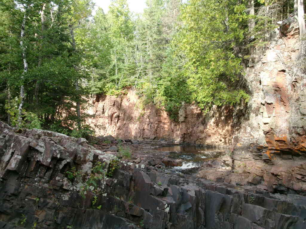
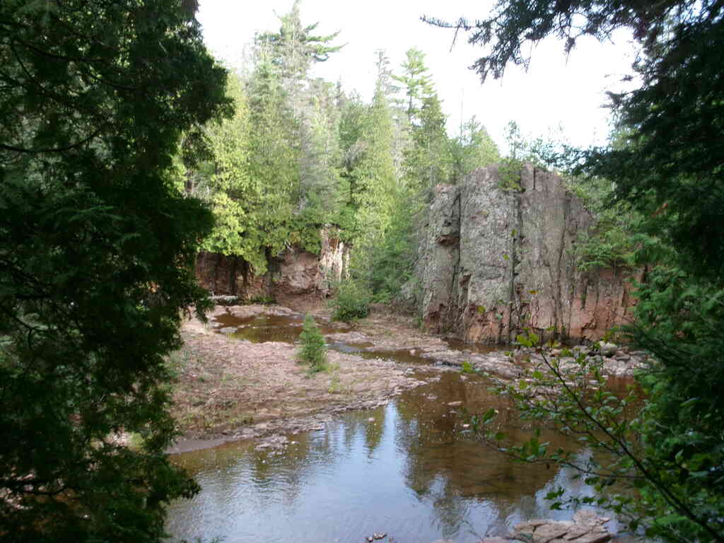
From Bluberry Hill camp the hiking was pleasant and pretty. Entering Split Rock State Park, we were treated to some very showy waterfalls, high cliffs, and steep rocky trail.
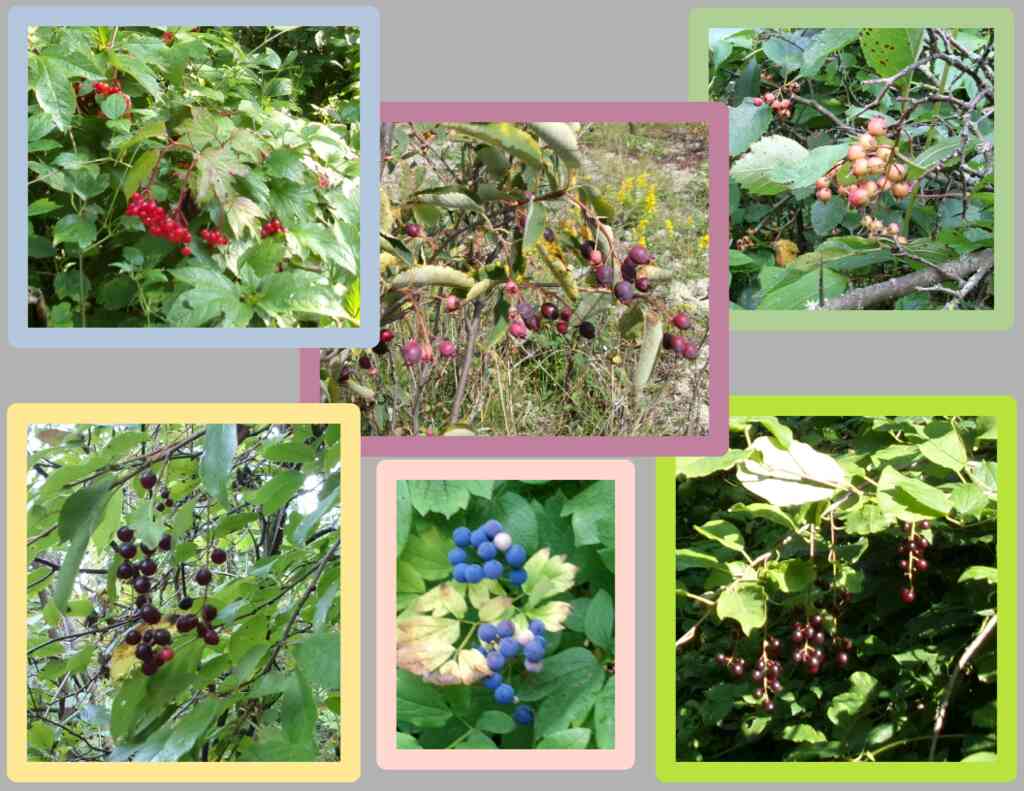
During the morning I was noticing lots of different berries along the trail. There were chokecherries and blueberries, and others that I believe are poisonous but are pretty nonetheless. I grabbed a few pictures and thought I'd get a little artsy with them here. 😃
 |
 |
 |
 |
As we entered the park, Paul started slowing down and began feeling ill. Eventually, he was struggling to continue, so Audrey and I went ahead to claim a campsite while Kristin stayed with Paul so he could rest; it turned out to be only ten more minutes hike. Audrey went back down to help Paul, and he was eventually able to make it to camp.
 |
 |
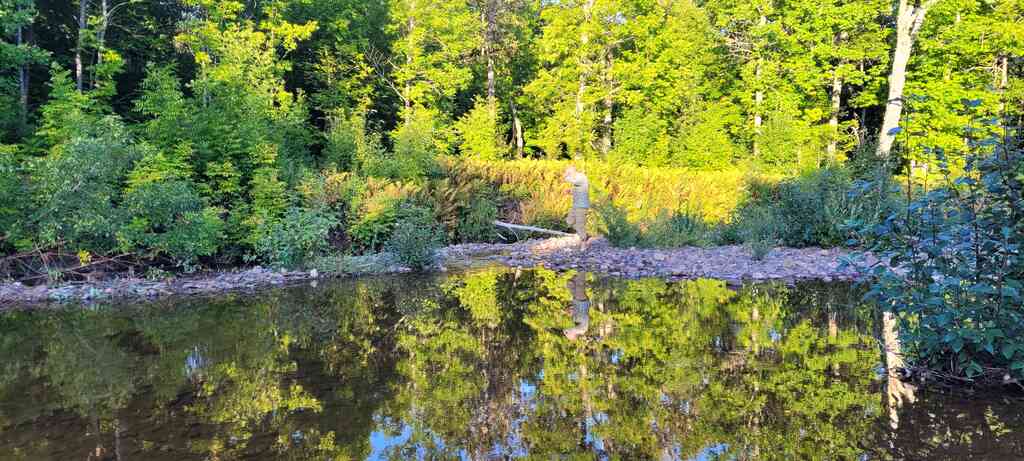
After setting up camp, Kristin and I went down to the river to enjoy the scenery and relax. As we were taking it in, we were surprised to see some unexpected wildlife, which I won't say more about here! Use your imagination!
 |
 |
 |
 |
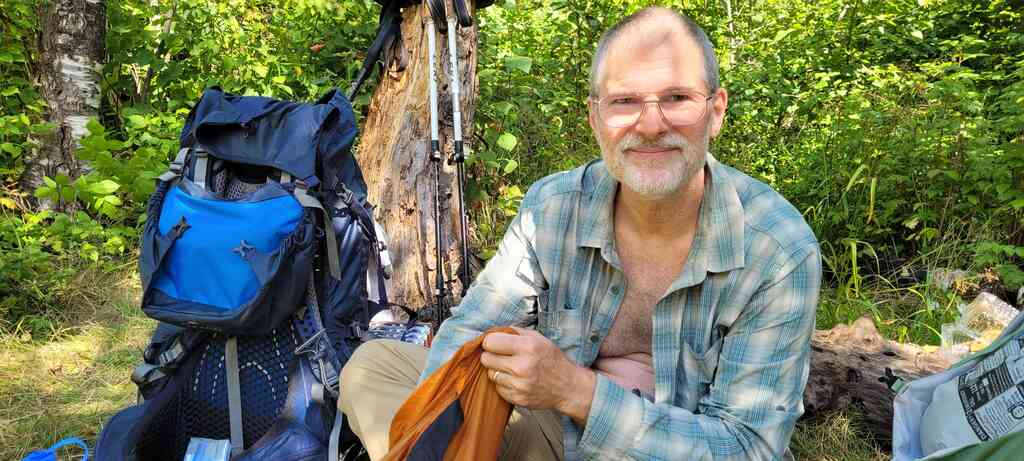
On Friday morning, though Paul was doing better, he was still not feeling well enough to continue, so he and Audrey decided to exit the hike. We were about two miles from the road.
Audrey worked on getting a shuttle to get her and Paul to their car from the parking area on the road, making calls a couple times as we hiked the two miles down.
 |
 |
 |
 |
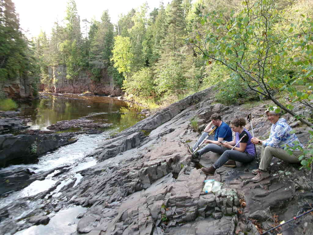
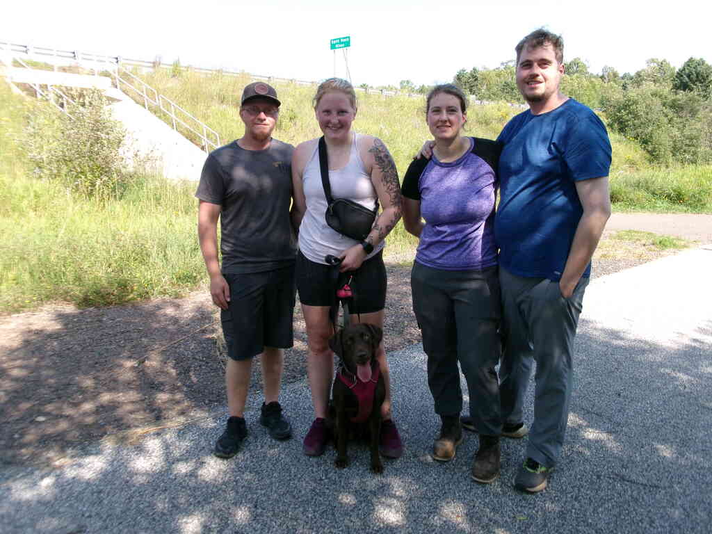
Once at the road, we found a shady spot to rest and have a late breakfast break. Just as I finished my meal, a young gal walked by and asked us if we had any rope, saying that her dog had fallen over a cliff and was stuck. I ALWAYS have rope for backpacking, and offered to help, so Audrey, Paul and I went with her a couple hundred yards down the bike trail to find her friend standing at the cliff, and her brown dog about 10 feet below the edge sitting on a narrow ledge.
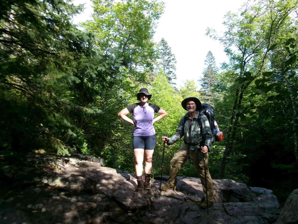
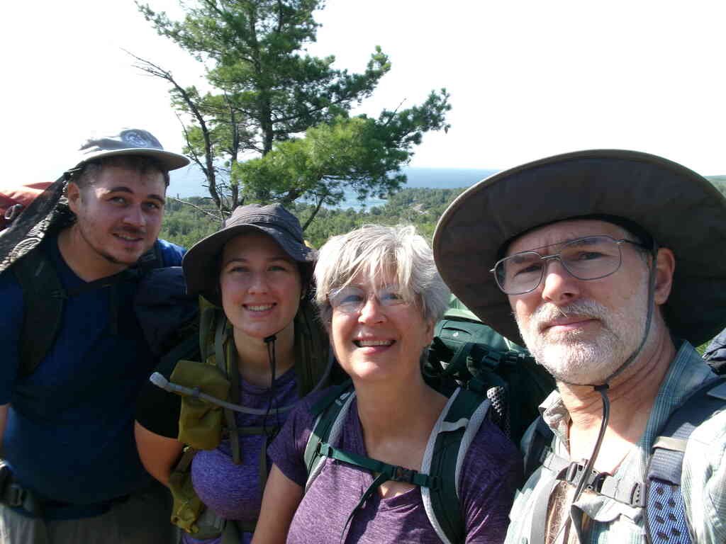
This is already a long story, but the upshot is that we got the dog in a rather daring rescue. In the picture with Audrey and Paul is Nathan, Katelyn and her dog Aesa.
After explaining our situation, Katelyn and Nathan offered to take Audrey and Paul to their car, so that problem was solved too!
 |
 |
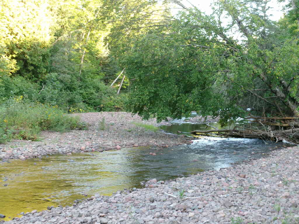
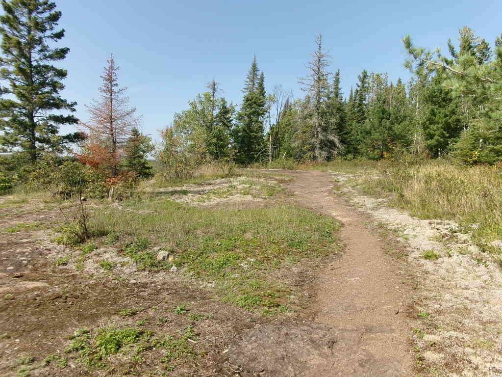
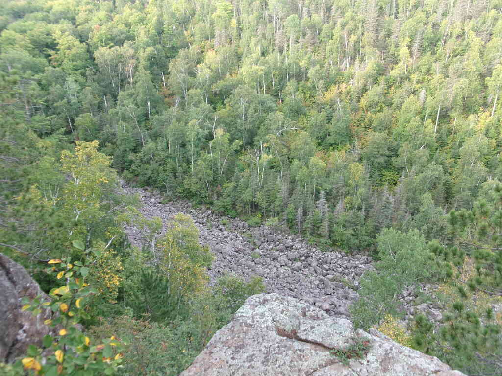
After saying our goodbyes to Audrey and Paul, Kristin and I returned to the trail. We had about 8 miles to cover in about five hours, and ended up taking four to do it, which is pretty close to our typical pace. We had some more really nice ridgetop views before descending to the Fault Line Creek valley and campsite.
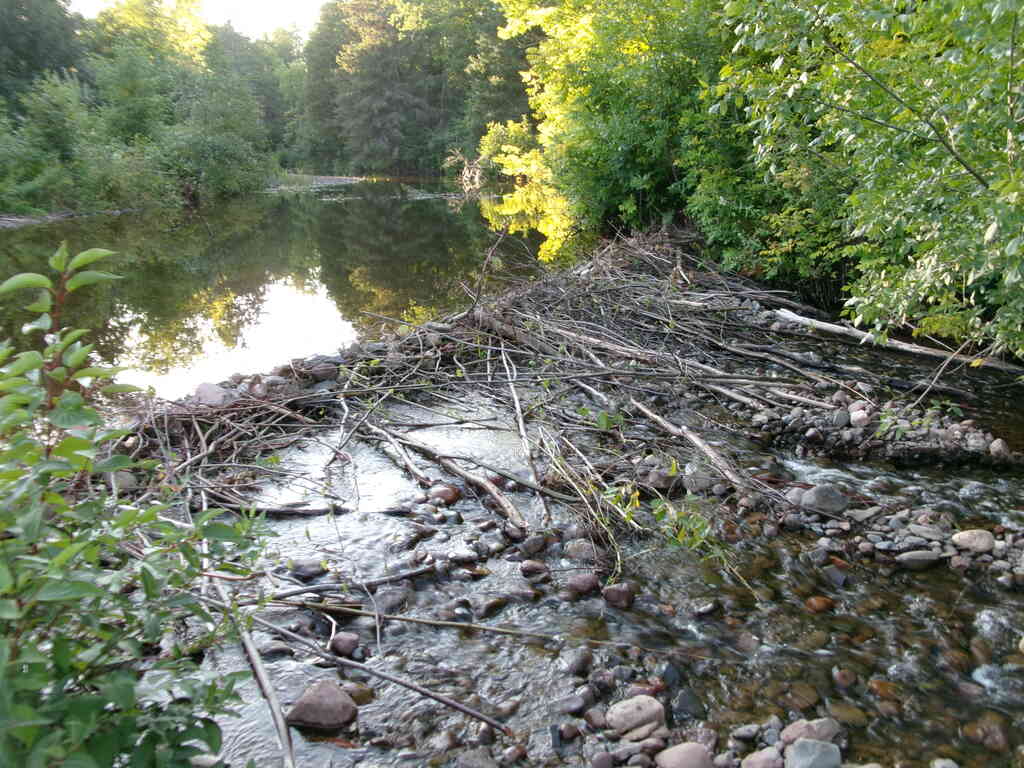
We arrived at an empty campsite, situated near a couple beaver ponds, and set up camp. After awhile a solo hiker showed up and set up camp, and then a bit later two others came as well. This was a surprise to us, because for all the times we've been backpacking we've never had to share a site. The neighbors were fine though, and even a bit chatty, and it was fun to hear about their experiences on the trail and to share ours.
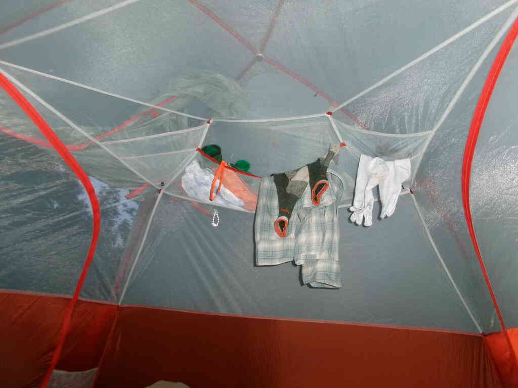
The first three of these pictures are some ridgetop views before we got to the campsite. The last shows what the inside of our tent looks like, with clothes hung to (hopefully) dry out overnight. This is just one end of the tent - the other end is just as messy!
 |
 |
 |
 |
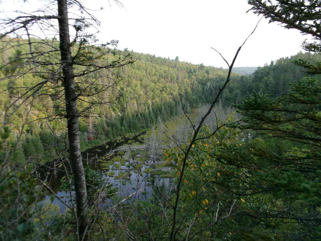
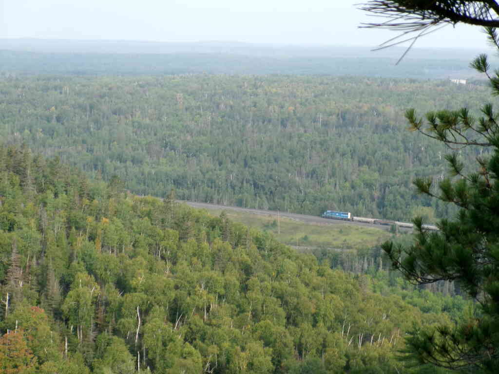
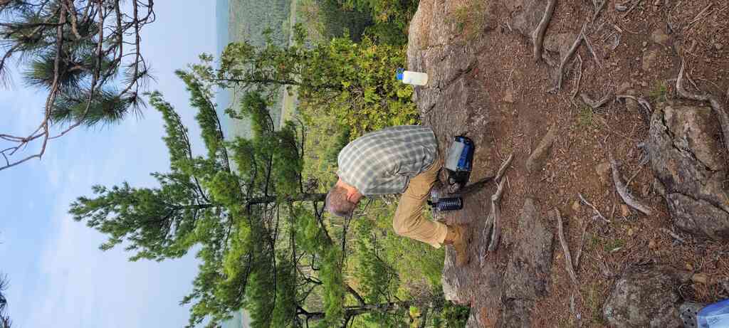
On Saturday we had a short 4-mile hike out to our destination. From the campsite in the valley we ascended back up to the ridge to get great views of the beaver ponds (from which we got water) and valley floor in Fault Line Valley. The ridge continued to the Fault Line Valley Vista, where we watched a train far below, had snacks, and I filtered a bit more water that I had carried in case we needed it. From there it was only about half an hour back down a gentle grade until we got back to the car. We had finished!
 |
 |
 |
 |
We drove back to Duluth to Audrey & Paul's place, where we got cleaned up and took them out for lunch. Then we proceeded south to the Twin Cities to stay with Kristin's folks for the night and visit with her family. On Sunday we headed home, with one more stop along the way to visit Laura. A fun and very successful trip!